Distance to Webberville, Michigan

Calculating Your Route
Just a moment while we process your request...
Location Information
-
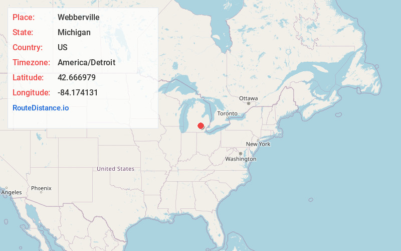
Full AddressWebberville, MI
-
Coordinates42.6669787, -84.1741305
-
LocationWebberville , Michigan , US
-
TimezoneAmerica/Detroit
-
Current Local Time12:40:01 AM America/DetroitFriday, June 13, 2025
-
Page Views0
About Webberville
Webberville is a village in Ingham County in the U.S. state of Michigan. It is located within Leroy Township. The population was 1,288 at the 2020 census.
The village is just northeast of the junction of M-43 and M-52 with I-96. It is about 5 miles southeast of Williamston and about 20 miles southeast of Lansing.


Nearby Places
Found 10 places within 50 miles

Fowlerville
5.2 mi
8.4 km
Fowlerville, MI 48836
Get directions

Williamston
5.7 mi
9.2 km
Williamston, MI 48895
Get directions

Perry
11.3 mi
18.2 km
Perry, MI 48872
Get directions

Morrice
11.9 mi
19.2 km
Morrice, MI 48857
Get directions

Howell
13.1 mi
21.1 km
Howell, MI
Get directions

Haslett
13.1 mi
21.1 km
Haslett, MI
Get directions

Okemos
13.4 mi
21.6 km
Okemos, MI
Get directions

Mason
15.0 mi
24.1 km
Mason, MI 48854
Get directions

East Lansing
16.5 mi
26.6 km
East Lansing, MI
Get directions

Holt
17.4 mi
28.0 km
Holt, MI
Get directions
Location Links
Local Weather
Weather Information
Coming soon!
Location Map
Static map view of Webberville, Michigan
Browse Places by Distance
Places within specific distances from Webberville
Short Distances
Long Distances
Click any distance to see all places within that range from Webberville. Distances shown in miles (1 mile ≈ 1.61 kilometers).