Distance to Welch, Minnesota

Calculating Your Route
Just a moment while we process your request...
Location Information
-
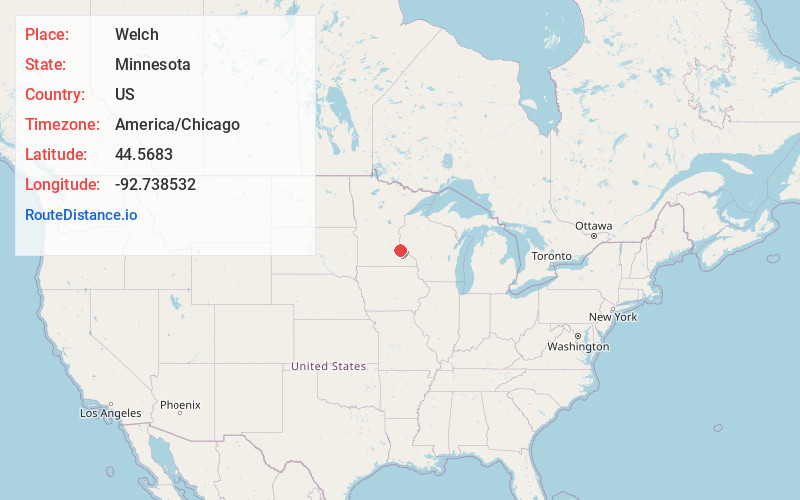
Full AddressWelch, MN 55089
-
Coordinates44.5683003, -92.7385321
-
LocationWelch , Minnesota , US
-
TimezoneAmerica/Chicago
-
Current Local Time8:41:27 PM America/ChicagoSaturday, May 31, 2025
-
Page Views0
About Welch
Welch is an unincorporated community in Welch Township, Goodhue County, Minnesota, United States.
Welch is along County 7 Boulevard near Highway 61, 36 miles southeast of St. Paul. The Cannon River flows through the community. The Canyon Valley Trail, which runs from Cannon Falls to Red Wing, goes through the village.


Nearby Places
Found 10 places within 50 miles

Miesville
4.3 mi
6.9 km
Miesville, MN
Get directions
Diamond Bluff
7.8 mi
12.6 km
Diamond Bluff, WI 54014
Get directions

Cannon Falls
9.3 mi
15.0 km
Cannon Falls, MN 55009
Get directions

New Trier
9.9 mi
15.9 km
New Trier, MN 55031
Get directions

Red Wing
9.9 mi
15.9 km
Red Wing, MN
Get directions
Hager City
10.1 mi
16.3 km
Hager City, WI 54014
Get directions
Wastedo
12.6 mi
20.3 km
Wastedo, MN 55009
Get directions

Prescott
12.9 mi
20.8 km
Prescott, WI 54021
Get directions

Goodhue
12.9 mi
20.8 km
Goodhue, MN 55027
Get directions

Hampton
13.3 mi
21.4 km
Hampton, MN 55031
Get directions
Location Links
Local Weather
Weather Information
Coming soon!
Location Map
Static map view of Welch, Minnesota
Browse Places by Distance
Places within specific distances from Welch
Short Distances
Long Distances
Click any distance to see all places within that range from Welch. Distances shown in miles (1 mile ≈ 1.61 kilometers).