Distance to Wellington, Alabama

Calculating Your Route
Just a moment while we process your request...
Location Information
-
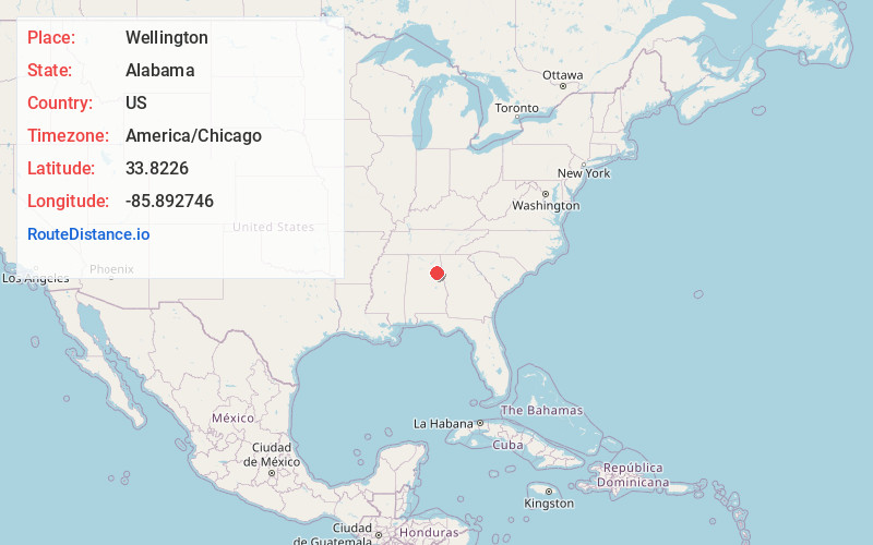
Full AddressWellington, AL 36279
-
Coordinates33.8225999, -85.8927457
-
LocationWellington , Alabama , US
-
TimezoneAmerica/Chicago
-
Current Local Time2:41:29 PM America/ChicagoSaturday, June 28, 2025
-
Page Views0
About Wellington
Wellington is an unincorporated community in Calhoun County, Alabama, United States. Wellington is located near U.S. Route 431, 11.8 miles north-northwest of Anniston. Wellington has a post office with ZIP code 36279.


Nearby Places
Found 10 places within 50 miles

Duke
2.0 mi
3.2 km
Duke, AL 36279
Get directions

Cedar Springs
3.3 mi
5.3 km
Cedar Springs, AL 36265
Get directions
Angel
3.3 mi
5.3 km
Angel, AL 36265
Get directions
Alexandria
3.4 mi
5.5 km
Alexandria, AL
Get directions
Colwell
4.2 mi
6.8 km
Colwell, AL 35905
Get directions
Lowrimores Crossroads
4.5 mi
7.2 km
Lowrimores Crossroads, AL 36250
Get directions
Grayton
4.5 mi
7.2 km
Grayton, AL 36271
Get directions

Calhoun County
6.1 mi
9.8 km
Calhoun County, AL
Get directions
Middleton
6.4 mi
10.3 km
Middleton, AL 36271
Get directions
Bush
6.4 mi
10.3 km
Bush, Saks, AL 36206
Get directions
Location Links
Local Weather
Weather Information
Coming soon!
Location Map
Static map view of Wellington, Alabama
Browse Places by Distance
Places within specific distances from Wellington
Short Distances
Long Distances
Click any distance to see all places within that range from Wellington. Distances shown in miles (1 mile ≈ 1.61 kilometers).