Distance to Wentworth, New Hampshire

Calculating Your Route
Just a moment while we process your request...
Location Information
-
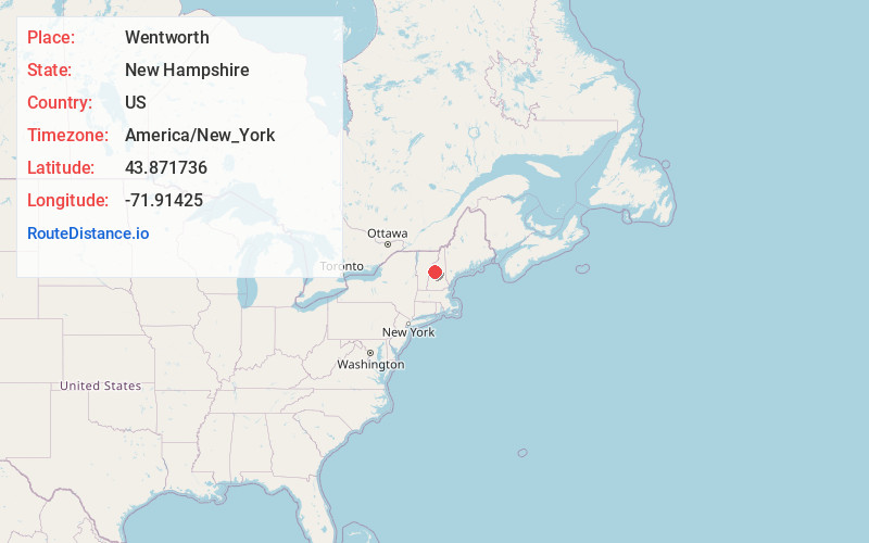
Full AddressWentworth, NH
-
Coordinates43.8717359, -71.9142504
-
LocationWentworth , New Hampshire , US
-
TimezoneAmerica/New_York
-
Current Local Time10:34:48 AM America/New_YorkThursday, June 26, 2025
-
Website
-
Page Views0
About Wentworth
Wentworth is a town in Grafton County, New Hampshire, United States. The population was 845 at the 2020 census, down from 911 at the 2010 census. The town is home to Plummer's Ledge Natural Area, and part of the White Mountain National Forest is in the northeast.


Nearby Places
Found 10 places within 50 miles

Rumney
6.8 mi
10.9 km
Rumney, NH
Get directions

Orford
11.5 mi
18.5 km
Orford, NH
Get directions

Thornton
12.0 mi
19.3 km
Thornton, NH
Get directions

Fairlee
12.1 mi
19.5 km
Fairlee, VT
Get directions

Lyme
12.8 mi
20.6 km
Lyme, NH
Get directions

Haverhill
13.5 mi
21.7 km
Haverhill, NH
Get directions

Woodstock
13.5 mi
21.7 km
Woodstock, NH
Get directions

Bradford
13.6 mi
21.9 km
Bradford, VT
Get directions

Plymouth
13.8 mi
22.2 km
Plymouth, NH 03264
Get directions

Campton
13.9 mi
22.4 km
Campton, NH 03223
Get directions
Location Links
Local Weather
Weather Information
Coming soon!
Location Map
Static map view of Wentworth, New Hampshire
Browse Places by Distance
Places within specific distances from Wentworth
Short Distances
Long Distances
Click any distance to see all places within that range from Wentworth. Distances shown in miles (1 mile ≈ 1.61 kilometers).