Distance to West Alton, Missouri

Calculating Your Route
Just a moment while we process your request...
Location Information
-
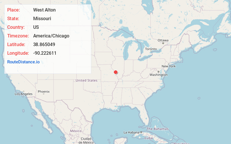
Full AddressWest Alton, MO
-
Coordinates38.8650487, -90.2226109
-
LocationWest Alton , Missouri , US
-
TimezoneAmerica/Chicago
-
Current Local Time6:37:56 PM America/ChicagoWednesday, June 18, 2025
-
Page Views0
About West Alton
West Alton is a city in St. Charles County, Missouri, United States. The population was 359 at the 2020 census. It is located at the tip of the peninsula formed by the confluence of the Missouri and Mississippi Rivers and is directly across Alton, Illinois.


Nearby Places
Found 10 places within 50 miles

Alton
2.7 mi
4.3 km
Alton, IL
Get directions

Old Jamestown
3.4 mi
5.5 km
Old Jamestown, MO
Get directions

Spanish Lake
5.3 mi
8.5 km
Spanish Lake, MO
Get directions
Black Jack
5.5 mi
8.9 km
Black Jack, MO 63033
Get directions

East Alton
6.1 mi
9.8 km
East Alton, IL
Get directions

Wood River
6.7 mi
10.8 km
Wood River, IL
Get directions

Hartford
7.2 mi
11.6 km
Hartford, IL
Get directions

Godfrey
7.3 mi
11.7 km
Godfrey, IL
Get directions

Florissant
7.5 mi
12.1 km
Florissant, MO
Get directions
Castle Point
7.5 mi
12.1 km
Castle Point, MO 63136
Get directions
Location Links
Local Weather
Weather Information
Coming soon!
Location Map
Static map view of West Alton, Missouri
Browse Places by Distance
Places within specific distances from West Alton
Short Distances
Long Distances
Click any distance to see all places within that range from West Alton. Distances shown in miles (1 mile ≈ 1.61 kilometers).