Distance to Black Jack, Missouri

Calculating Your Route
Just a moment while we process your request...
Location Information
-
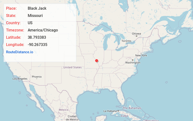
Full AddressBlack Jack, MO 63033
-
Coordinates38.7933833, -90.2673346
-
LocationBlack Jack , Missouri , US
-
TimezoneAmerica/Chicago
-
Current Local Time3:05:44 AM America/ChicagoWednesday, June 18, 2025
-
Page Views0
About Black Jack
Black Jack is a second-ring suburb of St. Louis, located in northern St. Louis County, Missouri, United States. The population was 6,929 at the 2010 census.
A post office called Black Jack was established in 1872, and operated until 1906.
Nearby Places
Found 10 places within 50 miles

Spanish Lake
2.8 mi
4.5 km
Spanish Lake, MO
Get directions

Florissant
3.0 mi
4.8 km
Florissant, MO
Get directions

Old Jamestown
3.8 mi
6.1 km
Old Jamestown, MO
Get directions

Ferguson
4.0 mi
6.4 km
Ferguson, MO
Get directions

Berkeley
4.4 mi
7.1 km
Berkeley, MO
Get directions

Jennings
5.1 mi
8.2 km
Jennings, MO
Get directions

Hazelwood
5.8 mi
9.3 km
Hazelwood, MO
Get directions
St John
6.9 mi
11.1 km
St John, MO
Get directions

St Ann
7.8 mi
12.6 km
St Ann, MO
Get directions

Bridgeton
8.0 mi
12.9 km
Bridgeton, MO
Get directions
Location Links
Local Weather
Weather Information
Coming soon!
Location Map
Static map view of Black Jack, Missouri
Browse Places by Distance
Places within specific distances from Black Jack
Short Distances
Long Distances
Click any distance to see all places within that range from Black Jack. Distances shown in miles (1 mile ≈ 1.61 kilometers).