Distance to West Bluff, Texas

Calculating Your Route
Just a moment while we process your request...
Location Information
-
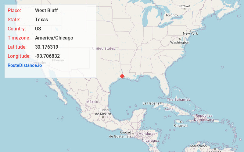
Full AddressWest Bluff, TX 77632
-
Coordinates30.1763192, -93.7068315
-
LocationWest Bluff , Texas , US
-
TimezoneAmerica/Chicago
-
Current Local Time8:39:44 PM America/ChicagoMonday, June 23, 2025
-
Page Views0
Nearby Places
Found 10 places within 50 miles

Niblett Bluff
2.2 mi
3.5 km
Niblett Bluff, LA 70668
Get directions

Little Cypress
3.0 mi
4.8 km
Little Cypress, TX 77632
Get directions
Forest Heights
5.3 mi
8.5 km
Forest Heights, TX 77632
Get directions

Orange
6.0 mi
9.7 km
Orange, TX
Get directions
Ruliff
6.9 mi
11.1 km
Ruliff, TX 77632
Get directions
West Orange
7.2 mi
11.6 km
West Orange, TX 77630
Get directions

Vinton
7.6 mi
12.2 km
Vinton, LA 70668
Get directions

Deweyville
8.7 mi
14.0 km
Deweyville, TX
Get directions
Tulane
9.7 mi
15.6 km
Tulane, TX 77630
Get directions
Mauriceville
9.7 mi
15.6 km
Mauriceville, TX 77632
Get directions
Location Links
Local Weather
Weather Information
Coming soon!
Location Map
Static map view of West Bluff, Texas
Browse Places by Distance
Places within specific distances from West Bluff
Short Distances
Long Distances
Click any distance to see all places within that range from West Bluff. Distances shown in miles (1 mile ≈ 1.61 kilometers).