Distance to West Chesterfield, New Hampshire

Calculating Your Route
Just a moment while we process your request...
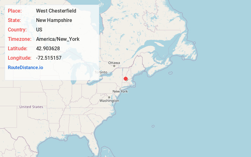
Location Information
-
Full AddressWest Chesterfield, Chesterfield, NH 03466
-
Coordinates42.9036282, -72.5151566
-
NeighborhoodWest Chesterfield
-
LocationChesterfield , New Hampshire , US
-
TimezoneAmerica/New_York
-
Current Local Time7:04:26 AM America/New_YorkMonday, June 2, 2025
-
Page Views0
About West Chesterfield
West Chesterfield is an unincorporated community in the town of Chesterfield in Cheshire County, New Hampshire, United States. It is located north of New Hampshire Route 9 in a valley leading to the Connecticut River. Via Route 9, Keene is 14 miles to the east, and Brattleboro, Vermont, is 3 miles to the west.


Nearby Places
Found 10 places within 50 miles
Chesterfield
3.3 mi
5.3 km
Chesterfield, NH
Get directions

Putney
5.0 mi
8.0 km
Putney, VT 05346
Get directions

Dummerston
5.3 mi
8.5 km
Dummerston, VT
Get directions

Westmoreland
5.5 mi
8.9 km
Westmoreland, NH
Get directions

Guilford
6.7 mi
10.8 km
Guilford, VT 05301
Get directions

Hinsdale
8.2 mi
13.2 km
Hinsdale, NH
Get directions

North Vernon
8.4 mi
13.5 km
North Vernon, Vernon, VT 05354
Get directions

Newfane
9.1 mi
14.6 km
Newfane, VT
Get directions

Vernon
9.8 mi
15.8 km
Vernon, VT
Get directions

Brookline
9.9 mi
15.9 km
Brookline, VT
Get directions
Location Links
Local Weather
Weather Information
Coming soon!
Location Map
Static map view of West Chesterfield, New Hampshire
Browse Places by Distance
Places within specific distances from West Chesterfield
Short Distances
Long Distances
Click any distance to see all places within that range from West Chesterfield. Distances shown in miles (1 mile ≈ 1.61 kilometers).