Distance to Chesterfield, New Hampshire

Calculating Your Route
Just a moment while we process your request...
Location Information
-
Full AddressChesterfield, NH
-
Coordinates42.9030941, -72.4494848
-
LocationChesterfield , New Hampshire , US
-
TimezoneAmerica/New_York
-
Current Local Time3:00:19 AM America/New_YorkFriday, May 23, 2025
-
Website
-
Page Views0
About Chesterfield
Chesterfield is a town in Cheshire County, New Hampshire, United States. The population was 3,552 at the 2020 census. It includes the villages of Spofford and West Chesterfield.


Nearby Places
Found 10 places within 50 miles

Hinsdale
8.3 mi
13.4 km
Hinsdale, NH
Get directions

Swanzey
8.8 mi
14.2 km
Swanzey, NH
Get directions

Keene
8.9 mi
14.3 km
Keene, NH
Get directions

Winchester
9.6 mi
15.4 km
Winchester, NH
Get directions

Walpole
12.2 mi
19.6 km
Walpole, NH
Get directions

Town of Rockingham
19.8 mi
31.9 km
Town of Rockingham, VT
Get directions

Jaffrey
22.5 mi
36.2 km
Jaffrey, NH 03452
Get directions

Charlestown
22.7 mi
36.5 km
Charlestown, NH 03603
Get directions

Orange
22.9 mi
36.9 km
Orange, MA 01364
Get directions

Athol
24.0 mi
38.6 km
Athol, MA
Get directions
Location Links
Local Weather
Weather Information
Coming soon!
Location Map
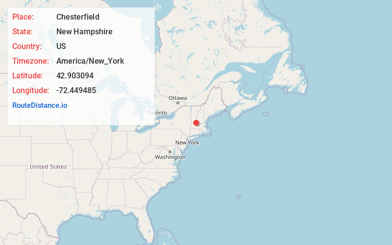
Static map view of Chesterfield, New Hampshire
Browse Places by Distance
Places within specific distances from Chesterfield
Short Distances
Long Distances
Click any distance to see all places within that range from Chesterfield. Distances shown in miles (1 mile ≈ 1.61 kilometers).