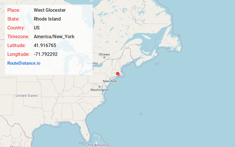
Distance to West Glocester, Rhode Island

Calculating Your Route
Just a moment while we process your request...
Location Information
-
Full AddressWest Glocester, Glocester, RI 02814
-
Coordinates41.916765, -71.7922923
-
LocationGlocester , Rhode Island , US
-
TimezoneAmerica/New_York
-
Current Local Time9:20:32 PM America/New_YorkTuesday, May 27, 2025
-
Page Views0
Nearby Places
Found 10 places within 50 miles

Clarkville Pond
0.5 mi
0.8 km
Clarkville Pond, Glocester, RI 02814
Get directions
Quaddick
2.1 mi
3.4 km
Quaddick, Thompson, CT 06277
Get directions

Pineville
3.8 mi
6.1 km
Pineville, Killingly, CT 06241
Get directions

Foster
4.7 mi
7.6 km
Foster, RI
Get directions

Glocester
5.3 mi
8.5 km
Glocester, RI
Get directions
Wescott Beach
5.7 mi
9.2 km
Wescott Beach, Glocester, RI 02814
Get directions
North Foster
6.3 mi
10.1 km
North Foster, Foster, RI 02825
Get directions

Burrillville
6.5 mi
10.5 km
Burrillville, RI
Get directions

Killingly
6.8 mi
10.9 km
Killingly, CT
Get directions
Elmville
7.3 mi
11.7 km
Elmville, Killingly, CT 06239
Get directions
Location Links
Local Weather
Weather Information
Coming soon!
Location Map
Static map view of West Glocester, Rhode Island
Browse Places by Distance
Places within specific distances from West Glocester
Short Distances
Long Distances
Click any distance to see all places within that range from West Glocester. Distances shown in miles (1 mile ≈ 1.61 kilometers).