Distance to and from West Hollis, New Hampshire
West Hollis, Hollis, NH 03049
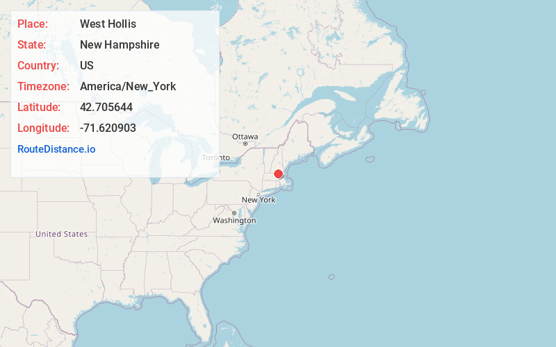
Hollis
New Hampshire
US
America/New_York
Location Information
-
Full AddressWest Hollis, Hollis, NH 03049
-
Coordinates42.7056443, -71.6209031
-
LocationHollis , New Hampshire , US
-
TimezoneAmerica/New_York
-
Current Local Time6:06:18 PM America/New_YorkMonday, May 5, 2025
-
Page Views0
Directions to Nearest Cities
Nearby Places
Found 10 places within 50 miles

Brookline
2.8 mi
4.5 km
Brookline, NH
Get directions

Hollis
3.0 mi
4.8 km
Hollis, NH 03049
Get directions

Pepperell
3.2 mi
5.1 km
Pepperell, MA 01463
Get directions

Hollis Depot
3.7 mi
6.0 km
Hollis Depot, Hollis, NH 03049
Get directions

Townsend
5.1 mi
8.2 km
Townsend, MA
Get directions

Groton
7.1 mi
11.4 km
Groton, MA
Get directions
Broad Acres
7.3 mi
11.7 km
Broad Acres, Nashua, NH 03063
Get directions

Dunstable
7.3 mi
11.7 km
Dunstable, MA 01827
Get directions
Mason
7.9 mi
12.7 km
Mason, NH
Get directions

Nashua
8.7 mi
14.0 km
Nashua, NH
Get directions
Brookline
2.8 mi
4.5 km
Brookline, NH
Hollis
3.0 mi
4.8 km
Hollis, NH 03049
Pepperell
3.2 mi
5.1 km
Pepperell, MA 01463
Hollis Depot
3.7 mi
6.0 km
Hollis Depot, Hollis, NH 03049
Townsend
5.1 mi
8.2 km
Townsend, MA
Groton
7.1 mi
11.4 km
Groton, MA
Broad Acres
7.3 mi
11.7 km
Broad Acres, Nashua, NH 03063
Dunstable
7.3 mi
11.7 km
Dunstable, MA 01827
Mason
7.9 mi
12.7 km
Mason, NH
Nashua
8.7 mi
14.0 km
Nashua, NH
Location Links
Local Weather
Weather Information
Coming soon!
Location Map
Static map view of West Hollis, New Hampshire
Browse Places by Distance
Places within specific distances from West Hollis
Short Distances
Long Distances
Click any distance to see all places within that range from West Hollis. Distances shown in miles (1 mile ≈ 1.61 kilometers).