Distance to West Point, Georgia

Calculating Your Route
Just a moment while we process your request...
Location Information
-
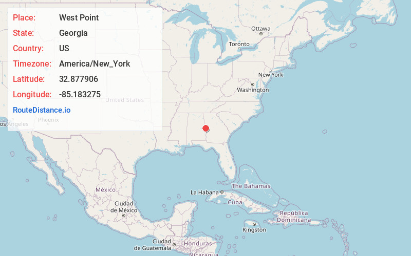
Full AddressWest Point, GA
-
Coordinates32.8779056, -85.1832746
-
LocationWest Point , Georgia , US
-
TimezoneAmerica/New_York
-
Current Local Time6:43:07 PM America/New_YorkFriday, June 20, 2025
-
Website
-
Page Views0
About West Point
West Point is a city in Troup and Harris counties in the U.S. state of Georgia. It is located approximately halfway between Montgomery, Alabama and Atlanta along Interstate 85. As of 2020, its population was 3,719.


Nearby Places
Found 10 places within 50 miles

Lanett
0.8 mi
1.3 km
Lanett, AL
Get directions

Valley
4.1 mi
6.6 km
Valley, AL 36854
Get directions

LaGrange
14.0 mi
22.5 km
LaGrange, GA
Get directions

Opelika
19.7 mi
31.7 km
Opelika, AL
Get directions

Roanoke
21.8 mi
35.1 km
Roanoke, AL 36274
Get directions

Smiths Station
23.9 mi
38.5 km
Smiths Station, AL
Get directions

Auburn
25.4 mi
40.9 km
Auburn, AL
Get directions

Ladonia
29.0 mi
46.7 km
Ladonia, AL
Get directions

Phenix City
30.1 mi
48.4 km
Phenix City, AL
Get directions

Columbus
30.5 mi
49.1 km
Columbus, GA
Get directions
Location Links
Local Weather
Weather Information
Coming soon!
Location Map
Static map view of West Point, Georgia
Browse Places by Distance
Places within specific distances from West Point
Short Distances
Long Distances
Click any distance to see all places within that range from West Point. Distances shown in miles (1 mile ≈ 1.61 kilometers).