Distance to Westfield, North Dakota

Calculating Your Route
Just a moment while we process your request...
Location Information
-
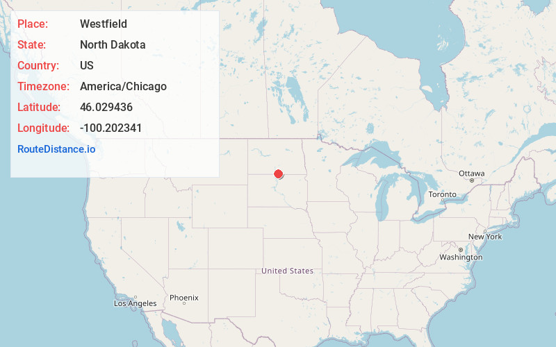
Full AddressWestfield, ND 58542
-
Coordinates46.0294362, -100.2023414
-
LocationWestfield , North Dakota , US
-
TimezoneAmerica/Chicago
-
Current Local Time6:06:46 AM America/ChicagoSaturday, June 21, 2025
-
Page Views0
Nearby Places
Found 10 places within 50 miles

Hull
3.7 mi
6.0 km
Hull, ND 58542
Get directions
Grassna
6.0 mi
9.7 km
Grassna, ND 58573
Get directions

Strasburg
7.5 mi
12.1 km
Strasburg, ND 58573
Get directions

Pollock
9.8 mi
15.8 km
Pollock, SD 57648
Get directions

Hague
9.9 mi
15.9 km
Hague, ND 58542
Get directions

Herreid
14.9 mi
24.0 km
Herreid, SD 57632
Get directions

Linton
16.5 mi
26.6 km
Linton, ND 58552
Get directions
Kenel
17.1 mi
27.5 km
Kenel, SD
Get directions
Zeeland
18.3 mi
29.5 km
Zeeland, ND 58581
Get directions

Fort Yates
20.9 mi
33.6 km
Fort Yates, ND 58538
Get directions
Location Links
Local Weather
Weather Information
Coming soon!
Location Map
Static map view of Westfield, North Dakota
Browse Places by Distance
Places within specific distances from Westfield
Short Distances
Long Distances
Click any distance to see all places within that range from Westfield. Distances shown in miles (1 mile ≈ 1.61 kilometers).