Distance to Westfield, North Carolina

Calculating Your Route
Just a moment while we process your request...
Location Information
-
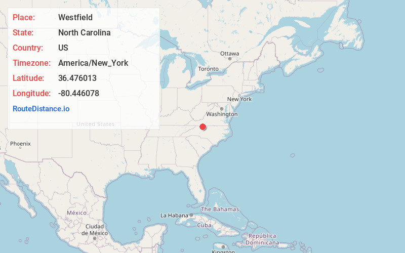
Full AddressWestfield, NC
-
Coordinates36.4760127, -80.4460778
-
LocationWestfield , North Carolina , US
-
TimezoneAmerica/New_York
-
Current Local Time2:05:24 AM America/New_YorkMonday, June 9, 2025
-
Page Views0
About Westfield
Westfield in an unincorporated community in Surry and Stokes counties in North Carolina, United States. The community itself is located almost entirely within Surry County, with a small portion extending east into Stokes County. The majority of Westfield's Zip Code Tabulation Area is located within Stokes County.
Nearby Places
Found 10 places within 50 miles

Mount Herman
4.2 mi
6.8 km
Mount Herman, NC 27030
Get directions

Asbury
4.4 mi
7.1 km
Asbury, NC 27030
Get directions
Sheltontown
6.2 mi
10.0 km
Sheltontown, NC 27030
Get directions

Pilot Mountain
6.3 mi
10.1 km
Pilot Mountain, NC 27041
Get directions
Francisco
6.7 mi
10.8 km
Francisco, NC
Get directions

Collinstown
6.8 mi
10.9 km
Collinstown, NC
Get directions
Boones Hill
7.2 mi
11.6 km
Boones Hill, NC 27030
Get directions

Claudville
8.0 mi
12.9 km
Claudville, VA 24076
Get directions
Ararat
8.1 mi
13.0 km
Ararat, NC 27007
Get directions

Mt Airy
9.0 mi
14.5 km
Mt Airy, NC 27030
Get directions
Location Links
Local Weather
Weather Information
Coming soon!
Location Map
Static map view of Westfield, North Carolina
Browse Places by Distance
Places within specific distances from Westfield
Short Distances
Long Distances
Click any distance to see all places within that range from Westfield. Distances shown in miles (1 mile ≈ 1.61 kilometers).