Distance to Boones Hill, North Carolina

Calculating Your Route
Just a moment while we process your request...
Location Information
-
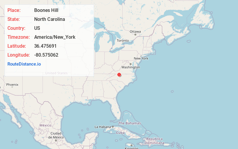
Full AddressBoones Hill, NC 27030
-
Coordinates36.4756907, -80.5750623
-
LocationNorth Carolina , US
-
TimezoneAmerica/New_York
-
Current Local Time11:27:17 PM America/New_YorkTuesday, June 17, 2025
-
Page Views0
About Boones Hill
Boones Hill is a small unincorporated community in the Mount Airy Township of northern Surry County, North Carolina, United States, on the outskirts of the city of Mount Airy near Bannertown. The community is centered on the intersection of Business U.S. Highway 52 and U.S. Highway 52 Bypass south of Bannertown.
Nearby Places
Found 10 places within 50 miles

Sheltontown
1.6 mi
2.6 km
Sheltontown, NC 27030
Get directions

Mt Airy
2.4 mi
3.9 km
Mt Airy, NC 27030
Get directions
Toast
3.7 mi
6.0 km
Toast, NC 27030
Get directions
White Plains
3.8 mi
6.1 km
White Plains, NC 27030
Get directions
Holly View Forest-Highland Park
4.0 mi
6.4 km
Holly View Forest-Highland Park, NC 27030
Get directions
Ararat
5.0 mi
8.0 km
Ararat, NC 27007
Get directions
Ash Hill
5.7 mi
9.2 km
Ash Hill, NC 27007
Get directions
Mount Herman
7.2 mi
11.6 km
Mount Herman, NC 27030
Get directions
Pine Ridge
8.1 mi
13.0 km
Pine Ridge, NC 27030
Get directions

Pilot Mountain
8.5 mi
13.7 km
Pilot Mountain, NC 27041
Get directions
Location Links
Local Weather
Weather Information
Coming soon!
Location Map
Static map view of Boones Hill, North Carolina
Browse Places by Distance
Places within specific distances from Boones Hill
Short Distances
Long Distances
Click any distance to see all places within that range from Boones Hill. Distances shown in miles (1 mile ≈ 1.61 kilometers).