Distance to Pine Ridge, North Carolina

Calculating Your Route
Just a moment while we process your request...
Location Information
-
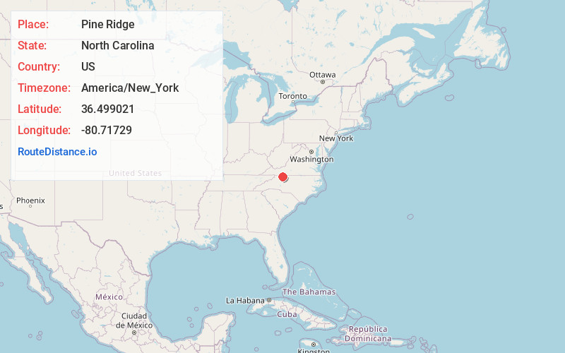
Full AddressPine Ridge, NC 27030
-
Coordinates36.4990207, -80.7172898
-
LocationNorth Carolina , US
-
TimezoneAmerica/New_York
-
Current Local Time3:51:36 AM America/New_YorkWednesday, June 18, 2025
-
Page Views0
About Pine Ridge
Pine Ridge is an unincorporated community in the Stewarts Creek Township of northern Surry County, North Carolina, United States, located near the city of Mount Airy on North Carolina Highway 89. The community is located between the Little Fisher River and Stewarts Creek and has an altitude of 1,347 feet.
Nearby Places
Found 10 places within 50 miles

Toast
4.6 mi
7.4 km
Toast, NC 27030
Get directions
White Plains
5.9 mi
9.5 km
White Plains, NC 27030
Get directions

Mt Airy
6.2 mi
10.0 km
Mt Airy, NC 27030
Get directions

Cana
6.7 mi
10.8 km
Cana, VA 24317
Get directions
Ladonia
6.8 mi
10.9 km
Ladonia, NC 27024
Get directions

Dobson
7.1 mi
11.4 km
Dobson, NC
Get directions

Lowgap
8.5 mi
13.7 km
Lowgap, NC 27024
Get directions
Mountain Park
11.5 mi
18.5 km
Mountain Park, NC 28676
Get directions

Fancy Gap
11.6 mi
18.7 km
Fancy Gap, VA 24328
Get directions
Pine Hill
12.6 mi
20.3 km
Pine Hill, NC 27007
Get directions
Location Links
Local Weather
Weather Information
Coming soon!
Location Map
Static map view of Pine Ridge, North Carolina
Browse Places by Distance
Places within specific distances from Pine Ridge
Short Distances
Long Distances
Click any distance to see all places within that range from Pine Ridge. Distances shown in miles (1 mile ≈ 1.61 kilometers).