Distance to Whalebone, North Carolina

Calculating Your Route
Just a moment while we process your request...
Location Information
-
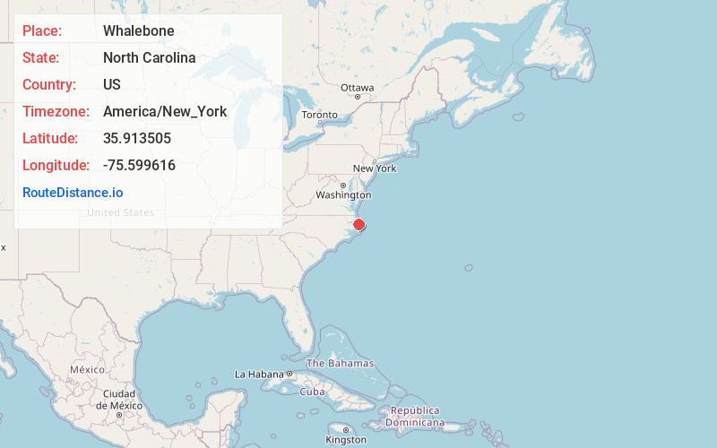
Full AddressWhalebone, Nags Head, NC 27959
-
Coordinates35.9135053, -75.5996158
-
NeighborhoodWhalebone
-
LocationNags Head , North Carolina , US
-
TimezoneAmerica/New_York
-
Current Local Time1:11:11 PM America/New_YorkSaturday, June 28, 2025
-
Page Views0

Nearby Places
Found 10 places within 50 miles

Nags Head
3.3 mi
5.3 km
Nags Head, NC 27959
Get directions

Mother Vineyard
4.2 mi
6.8 km
Mother Vineyard, NC 27954
Get directions

Manteo
4.3 mi
6.9 km
Manteo, NC 27954
Get directions
Baumtown
5.3 mi
8.5 km
Baumtown, Wanchese, NC 27981
Get directions

Wanchese
5.4 mi
8.7 km
Wanchese, NC 27981
Get directions
Fort Raleigh City
6.2 mi
10.0 km
Fort Raleigh City, NC 27954
Get directions
Croatan Shores
8.6 mi
13.8 km
Croatan Shores, Kill Devil Hills, NC 27948
Get directions

Colington Island
8.8 mi
14.2 km
Colington Island, North Carolina 27948
Get directions

Kill Devil Hills
9.2 mi
14.8 km
Kill Devil Hills, NC 27948
Get directions
Manns Harbor
9.3 mi
15.0 km
Manns Harbor, NC 27953
Get directions
Location Links
Local Weather
Weather Information
Coming soon!
Location Map
Static map view of Whalebone, North Carolina
Browse Places by Distance
Places within specific distances from Whalebone
Short Distances
Long Distances
Click any distance to see all places within that range from Whalebone. Distances shown in miles (1 mile ≈ 1.61 kilometers).