Distance to Wheeless, Oklahoma

Calculating Your Route
Just a moment while we process your request...
Location Information
-
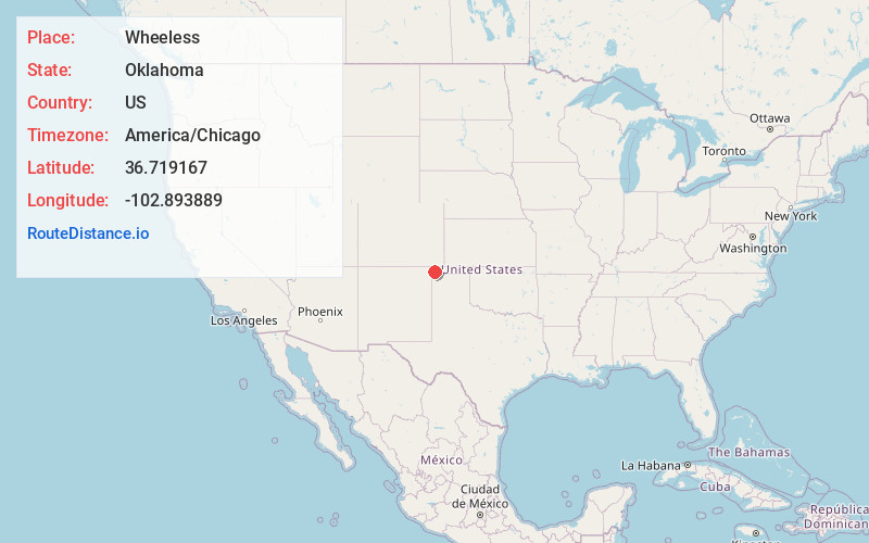
Full AddressWheeless, OK 73933
-
Coordinates36.719167, -102.893889
-
LocationWheeless , Oklahoma , US
-
TimezoneAmerica/Chicago
-
Current Local Time6:10:13 AM America/ChicagoFriday, June 20, 2025
-
Page Views0
About Wheeless
Wheeless is an unincorporated community in Cimarron County, Oklahoma, United States. The post office was established February 12, 1907, and discontinued September 27, 1963. Nearby are the ruins of Camp Nichols, a military encampment on the Santa Fe Trail, which is a National Historic Landmark.
Nearby Places
Found 10 places within 50 miles

Mexhoma
5.0 mi
8.0 km
Mexhoma, OK 73933
Get directions
Old Moses
10.5 mi
16.9 km
Old Moses, NM 88415
Get directions

Felt
12.1 mi
19.5 km
Felt, OK 73937
Get directions

Kenton
13.3 mi
21.4 km
Kenton, OK 73946
Get directions

Boise City
21.1 mi
34.0 km
Boise City, OK 73933
Get directions

Clayton
24.5 mi
39.4 km
Clayton, NM 88415
Get directions

Texline
24.7 mi
39.8 km
Texline, TX 79087
Get directions
Carrizo Springs
31.7 mi
51.0 km
Carrizo Springs, CO 81064
Get directions

Campo
31.8 mi
51.2 km
Campo, CO 81029
Get directions
Edler
32.2 mi
51.8 km
Edler, CO 81073
Get directions
Location Links
Local Weather
Weather Information
Coming soon!
Location Map
Static map view of Wheeless, Oklahoma
Browse Places by Distance
Places within specific distances from Wheeless
Short Distances
Long Distances
Click any distance to see all places within that range from Wheeless. Distances shown in miles (1 mile ≈ 1.61 kilometers).