Distance to Whelen Springs, Arkansas

Calculating Your Route
Just a moment while we process your request...
Location Information
-
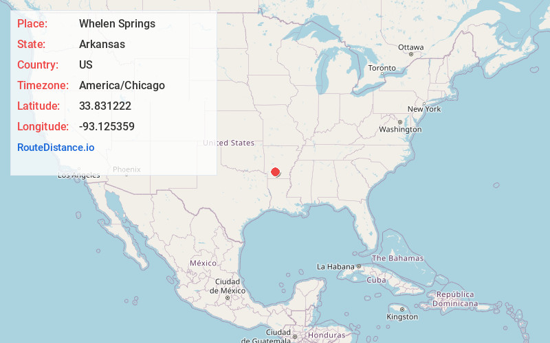
Full AddressWhelen Springs, AR
-
Coordinates33.8312222, -93.1253592
-
LocationWhelen Springs , Arkansas , US
-
TimezoneAmerica/Chicago
-
Current Local Time12:16:58 AM America/ChicagoMonday, June 2, 2025
-
Page Views0
About Whelen Springs
Whelen Springs is a town in Clark County, Arkansas, United States. The population was 92 at the 2010 census. From 1930 through 1939 the town thrived, being a main hub of operations for the then powerful Ozan Lumber Company.
Nearby Places
Found 10 places within 50 miles

Reader
5.5 mi
8.9 km
Reader, AR
Get directions

Gurdon
6.3 mi
10.1 km
Gurdon, AR 71743
Get directions

Bluff City
7.8 mi
12.6 km
Bluff City, AR
Get directions

Chidester
10.8 mi
17.4 km
Chidester, AR 71726
Get directions

Prescott
14.8 mi
23.8 km
Prescott, AR 71857
Get directions
Cale
15.6 mi
25.1 km
Cale, AR
Get directions

Gum Springs
16.0 mi
25.7 km
Gum Springs, AR 71923
Get directions
Sparkman
17.0 mi
27.4 km
Sparkman, AR 71763
Get directions
Okolona
17.0 mi
27.4 km
Okolona, AR 71962
Get directions
Rosston
18.6 mi
29.9 km
Rosston, AR 71858
Get directions
Location Links
Local Weather
Weather Information
Coming soon!
Location Map
Static map view of Whelen Springs, Arkansas
Browse Places by Distance
Places within specific distances from Whelen Springs
Short Distances
Long Distances
Click any distance to see all places within that range from Whelen Springs. Distances shown in miles (1 mile ≈ 1.61 kilometers).