Distance to Whippoorwill, Oklahoma

Calculating Your Route
Just a moment while we process your request...
Location Information
-
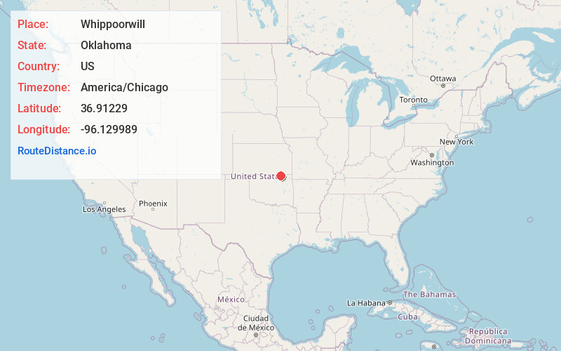
Full AddressWhippoorwill, OK 74056
-
Coordinates36.9122896, -96.1299887
-
LocationWhippoorwill , Oklahoma , US
-
TimezoneAmerica/Chicago
-
Current Local Time2:38:33 PM America/ChicagoFriday, June 20, 2025
-
Page Views0
About Whippoorwill
Whippoorwill is an unincorporated community and census-designated place in Osage County, Oklahoma, United States. It was first listed as a CDP prior to the 2020 census.
The CDP is in northeastern Osage County, on a hill overlooking the west end of Hulah Lake, where the Caney River enters it.

Nearby Places
Found 10 places within 50 miles

Bowring
2.4 mi
3.9 km
Bowring, OK 74056
Get directions

Chautauqua
7.9 mi
12.7 km
Chautauqua, KS
Get directions

Copan
11.3 mi
18.2 km
Copan, OK 74022
Get directions
Peru
11.8 mi
19.0 km
Peru, KS 67360
Get directions

Caney
12.8 mi
20.6 km
Caney, KS 67333
Get directions
Niotaze
12.9 mi
20.8 km
Niotaze, KS 67355
Get directions

Dewey
13.4 mi
21.6 km
Dewey, OK
Get directions

Bartlesville
14.2 mi
22.9 km
Bartlesville, OK
Get directions

Sedan
15.1 mi
24.3 km
Sedan, KS 67361
Get directions
Havana
16.2 mi
26.1 km
Havana, KS 67347
Get directions
Location Links
Local Weather
Weather Information
Coming soon!
Location Map
Static map view of Whippoorwill, Oklahoma
Browse Places by Distance
Places within specific distances from Whippoorwill
Short Distances
Long Distances
Click any distance to see all places within that range from Whippoorwill. Distances shown in miles (1 mile ≈ 1.61 kilometers).