Distance to White Stocking, North Carolina

Calculating Your Route
Just a moment while we process your request...
Location Information
-
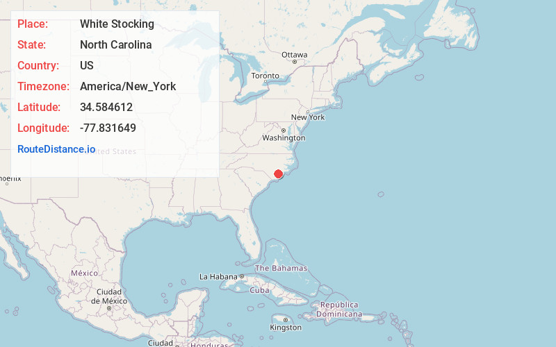
Full AddressWhite Stocking, NC 28425
-
Coordinates34.5846117, -77.8316487
-
LocationWhite Stocking , North Carolina , US
-
TimezoneAmerica/New_York
-
Current Local Time5:11:34 AM America/New_YorkTuesday, June 10, 2025
-
Page Views0
Nearby Places
Found 10 places within 50 miles

Burgaw
5.8 mi
9.3 km
Burgaw, NC 28425
Get directions

St Helena
6.9 mi
11.1 km
St Helena, NC 28425
Get directions

Watha
8.3 mi
13.4 km
Watha, NC 28478
Get directions
Blue Ridge
8.6 mi
13.8 km
Blue Ridge, North Carolina 28466
Get directions

Rocky Point
10.8 mi
17.4 km
Rocky Point, NC
Get directions
Mooretown
11.8 mi
19.0 km
Mooretown, NC 28457
Get directions
Cypress Creek
13.6 mi
21.9 km
Cypress Creek, NC 28574
Get directions

Wallace
14.0 mi
22.5 km
Wallace, NC
Get directions

Long Creek
14.1 mi
22.7 km
Long Creek, NC 28457
Get directions
Teachey
16.2 mi
26.1 km
Teachey, NC 28464
Get directions
Location Links
Local Weather
Weather Information
Coming soon!
Location Map
Static map view of White Stocking, North Carolina
Browse Places by Distance
Places within specific distances from White Stocking
Short Distances
Long Distances
Click any distance to see all places within that range from White Stocking. Distances shown in miles (1 mile ≈ 1.61 kilometers).