Distance to Whitefield, Oklahoma

Calculating Your Route
Just a moment while we process your request...
Location Information
-
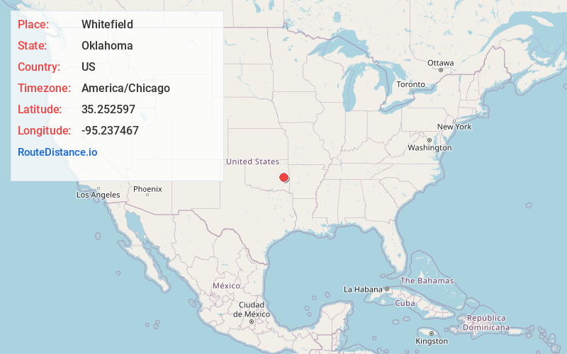
Full AddressWhitefield, OK 74472
-
Coordinates35.252597, -95.237467
-
LocationWhitefield , Oklahoma , US
-
TimezoneAmerica/Chicago
-
Current Local Time5:30:54 AM America/ChicagoSaturday, June 7, 2025
-
Page Views0
About Whitefield
Whitefield is a town in northwestern Haskell County, Oklahoma, United States. The population was 377 at the 2020 census, compared with the figure of 391 recorded in 2010. It was named for Methodist bishop George Whitefield.
Nearby Places
Found 10 places within 50 miles

Stigler
6.5 mi
10.5 km
Stigler, OK 74462
Get directions

Porum
7.3 mi
11.7 km
Porum, OK 74455
Get directions

Simms
10.8 mi
17.4 km
Simms, OK 74462
Get directions
Quinton
11.7 mi
18.8 km
Quinton, OK 74561
Get directions

Texanna
13.0 mi
20.9 km
Texanna, OK
Get directions

Longtown
15.5 mi
24.9 km
Longtown, OK
Get directions

Warner
17.1 mi
27.5 km
Warner, OK
Get directions

Keota
17.8 mi
28.6 km
Keota, OK 74941
Get directions

Eufaula
19.6 mi
31.5 km
Eufaula, OK 74432
Get directions

Gore
20.3 mi
32.7 km
Gore, OK 74435
Get directions
Location Links
Local Weather
Weather Information
Coming soon!
Location Map
Static map view of Whitefield, Oklahoma
Browse Places by Distance
Places within specific distances from Whitefield
Short Distances
Long Distances
Click any distance to see all places within that range from Whitefield. Distances shown in miles (1 mile ≈ 1.61 kilometers).