Distance to Texanna, Oklahoma

Calculating Your Route
Just a moment while we process your request...
Location Information
-
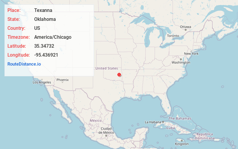
Full AddressTexanna, OK
-
Coordinates35.3473202, -95.4369211
-
LocationTexanna , Oklahoma , US
-
TimezoneAmerica/Chicago
-
Current Local Time1:34:13 AM America/ChicagoSaturday, June 21, 2025
-
Page Views0
About Texanna
Texanna is a census-designated place in McIntosh County, Oklahoma, United States. As of the 2020 census, the community had 2,293 residents.
Established in District 12 of the old Indian Territory, its post office existed from June 27, 1888 until July 16, 1940.


Nearby Places
Found 10 places within 50 miles

Longtown
8.2 mi
13.2 km
Longtown, OK
Get directions

Eufaula
9.2 mi
14.8 km
Eufaula, OK 74432
Get directions

Checotah
9.8 mi
15.8 km
Checotah, OK 74426
Get directions

Stigler
18.8 mi
30.3 km
Stigler, OK 74462
Get directions

Muskogee
27.9 mi
44.9 km
Muskogee, OK
Get directions

Wilburton
30.5 mi
49.1 km
Wilburton, OK 74578
Get directions

Henryetta
31.4 mi
50.5 km
Henryetta, OK 74437
Get directions

Fort Gibson
32.8 mi
52.8 km
Fort Gibson, OK 74434
Get directions

McAlester
34.2 mi
55.0 km
McAlester, OK 74501
Get directions

Okmulgee
34.8 mi
56.0 km
Okmulgee, OK 74447
Get directions
Location Links
Local Weather
Weather Information
Coming soon!
Location Map
Static map view of Texanna, Oklahoma
Browse Places by Distance
Places within specific distances from Texanna
Short Distances
Long Distances
Click any distance to see all places within that range from Texanna. Distances shown in miles (1 mile ≈ 1.61 kilometers).