Distance to Keota, Oklahoma

Calculating Your Route
Just a moment while we process your request...
Location Information
-
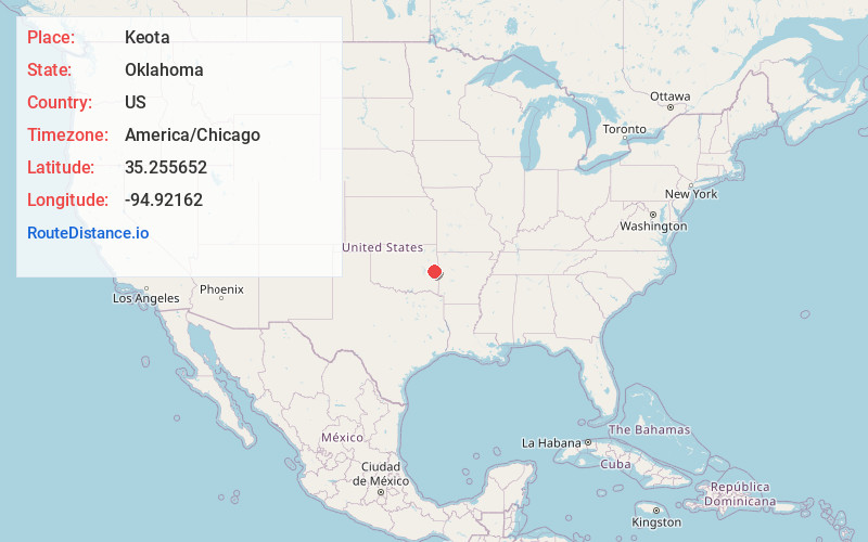
Full AddressKeota, OK 74941
-
Coordinates35.2556524, -94.9216195
-
LocationKeota , Oklahoma , US
-
TimezoneAmerica/Chicago
-
Current Local Time3:02:17 PM America/ChicagoTuesday, June 10, 2025
-
Page Views0
About Keota
Keota is a town in southeastern Haskell County, Oklahoma, United States. The population was 438 at the 2020 census, a 22.3 percent decrease over the figure of 564 recorded in 2010.


Nearby Places
Found 10 places within 50 miles

Brent
10.8 mi
17.4 km
Brent, OK
Get directions

Stigler
11.4 mi
18.3 km
Stigler, OK 74462
Get directions
Panama
15.3 mi
24.6 km
Panama, OK
Get directions

Sallisaw
16.0 mi
25.7 km
Sallisaw, OK 74955
Get directions

Vian
17.0 mi
27.4 km
Vian, OK 74962
Get directions

Spiro
17.1 mi
27.5 km
Spiro, OK 74959
Get directions

Shady Point
17.2 mi
27.7 km
Shady Point, OK 74956
Get directions
Carlisle
17.9 mi
28.8 km
Carlisle, OK
Get directions

Porum
20.6 mi
33.2 km
Porum, OK 74455
Get directions

Muldrow
21.0 mi
33.8 km
Muldrow, OK 74948
Get directions
Location Links
Local Weather
Weather Information
Coming soon!
Location Map
Static map view of Keota, Oklahoma
Browse Places by Distance
Places within specific distances from Keota
Short Distances
Long Distances
Click any distance to see all places within that range from Keota. Distances shown in miles (1 mile ≈ 1.61 kilometers).