Distance to Whiteland, Texas

Calculating Your Route
Just a moment while we process your request...
Location Information
-
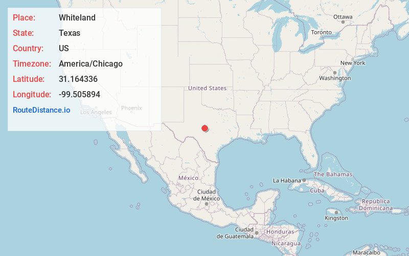
Full AddressWhiteland, TX 76858
-
Coordinates31.1643359, -99.5058944
-
LocationWhiteland , Texas , US
-
TimezoneAmerica/Chicago
-
Current Local Time5:51:27 PM America/ChicagoMonday, June 16, 2025
-
Page Views0
Nearby Places
Found 10 places within 50 miles

Melvin
4.9 mi
7.9 km
Melvin, TX 76858
Get directions

Pear Valley
10.1 mi
16.3 km
Pear Valley, TX 76852
Get directions

Brady
10.3 mi
16.6 km
Brady, TX 76825
Get directions
Salt Gap
11.1 mi
17.9 km
Salt Gap, TX 76852
Get directions
Lohn
12.4 mi
20.0 km
Lohn, TX 76852
Get directions

Doole
16.9 mi
27.2 km
Doole, TX 76836
Get directions

Rochelle
18.0 mi
29.0 km
Rochelle, TX
Get directions
Camp San Saba
18.9 mi
30.4 km
Camp San Saba, TX 76825
Get directions
Waldrip
19.8 mi
31.9 km
Waldrip, TX 76873
Get directions

Eden
20.4 mi
32.8 km
Eden, TX 76837
Get directions
Location Links
Local Weather
Weather Information
Coming soon!
Location Map
Static map view of Whiteland, Texas
Browse Places by Distance
Places within specific distances from Whiteland
Short Distances
Long Distances
Click any distance to see all places within that range from Whiteland. Distances shown in miles (1 mile ≈ 1.61 kilometers).