Distance to Whitesville, Missouri

Calculating Your Route
Just a moment while we process your request...
Location Information
-
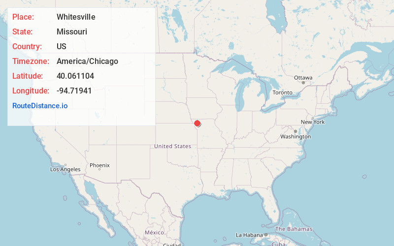
Full AddressWhitesville, MO 64480
-
Coordinates40.0611042, -94.7194096
-
LocationWhitesville , Missouri , US
-
TimezoneAmerica/Chicago
-
Current Local Time1:43:12 PM America/ChicagoTuesday, June 17, 2025
-
Page Views0
About Whitesville
Whitesville is an unincorporated community in Andrew County, in the U.S. state of Missouri. The community is part of the St. Joseph, MO–KS Metropolitan Statistical Area.
Nearby Places
Found 10 places within 50 miles

Rea
2.4 mi
3.9 km
Rea, MO
Get directions
Rosendale
5.7 mi
9.2 km
Rosendale, MO 64483
Get directions
Bolckow
6.5 mi
10.5 km
Bolckow, MO 64427
Get directions
Guilford
7.5 mi
12.1 km
Guilford, MO 64457
Get directions
Union Star
8.5 mi
13.7 km
Union Star, MO 64494
Get directions
Barnard
9.6 mi
15.4 km
Barnard, MO 64423
Get directions
Savannah
10.1 mi
16.3 km
Savannah, MO 64485
Get directions
King City
10.4 mi
16.7 km
King City, MO 64463
Get directions
Fillmore
13.7 mi
22.0 km
Fillmore, MO 64449
Get directions
Cosby
13.8 mi
22.2 km
Cosby, MO 64436
Get directions
Location Links
Local Weather
Weather Information
Coming soon!
Location Map
Static map view of Whitesville, Missouri
Browse Places by Distance
Places within specific distances from Whitesville
Short Distances
Long Distances
Click any distance to see all places within that range from Whitesville. Distances shown in miles (1 mile ≈ 1.61 kilometers).