Distance to Whitfield, Indiana

Calculating Your Route
Just a moment while we process your request...
Location Information
-
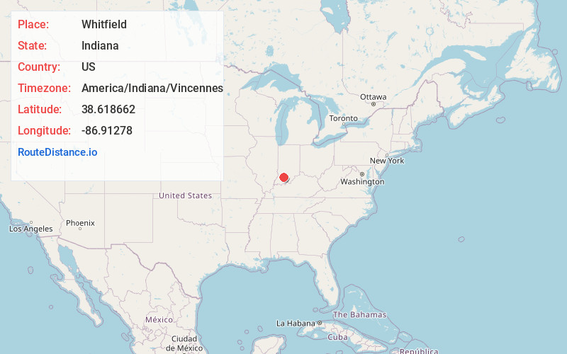
Full AddressWhitfield, IN 47553
-
Coordinates38.6186619, -86.9127795
-
LocationWhitfield , Indiana , US
-
TimezoneAmerica/Indiana/Vincennes
-
Current Local Time1:12:24 AM America/Indiana/VincennesFriday, June 20, 2025
-
Page Views0
About Whitfield
Whitfield is an unincorporated community in Perry Township, Martin County, in the U.S. state of Indiana.
Nearby Places
Found 10 places within 50 miles

Loogootee
4.0 mi
6.4 km
Loogootee, IN 47553
Get directions

Scenic Hill
4.3 mi
6.9 km
Scenic Hill, IN 47553
Get directions
Alfordsville
4.4 mi
7.1 km
Alfordsville, IN 47553
Get directions

Cannelburg
5.8 mi
9.3 km
Cannelburg, IN
Get directions
Corning
6.2 mi
10.0 km
Corning, IN 47558
Get directions

Shoals
7.3 mi
11.7 km
Shoals, IN 47581
Get directions
Lacy
7.4 mi
11.9 km
Lacy, Halbert Township, IN 47581
Get directions

Montgomery
7.8 mi
12.6 km
Montgomery, IN
Get directions
Ironton
8.0 mi
12.9 km
Ironton, IN 47581
Get directions
Yenne
8.2 mi
13.2 km
Yenne, IN 47581
Get directions
Location Links
Local Weather
Weather Information
Coming soon!
Location Map
Static map view of Whitfield, Indiana
Browse Places by Distance
Places within specific distances from Whitfield
Short Distances
Long Distances
Click any distance to see all places within that range from Whitfield. Distances shown in miles (1 mile ≈ 1.61 kilometers).