Distance to Wilburn, Arkansas

Calculating Your Route
Just a moment while we process your request...
Location Information
-
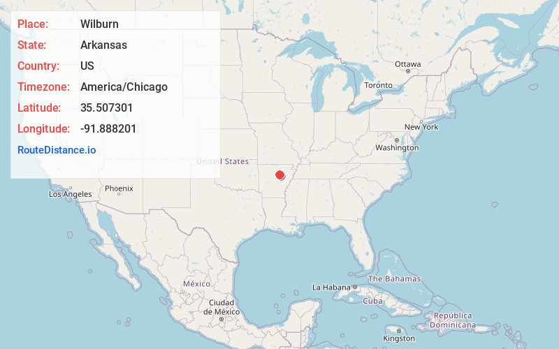
Full AddressWilburn, AR
-
Coordinates35.5073013, -91.8882008
-
LocationWilburn , Arkansas , US
-
TimezoneAmerica/Chicago
-
Current Local Time10:11:08 PM America/ChicagoWednesday, June 18, 2025
-
Page Views0
About Wilburn
Wilburn is an unincorporated community and census-designated place in Cleburne County, Arkansas, United States. Wilburn is located on Arkansas Highway 110, 8 miles east of Heber Springs. Wilburn has a post office with ZIP code 72179.
It was first listed as a CDP in the 2020 census with a population of 132.
Nearby Places
Found 10 places within 50 miles

Tumbling Shoals
5.1 mi
8.2 km
Tumbling Shoals, AR
Get directions

Pangburn
6.3 mi
10.1 km
Pangburn, AR 72121
Get directions

Heber Springs
8.1 mi
13.0 km
Heber Springs, AR 72543
Get directions

Rose Bud
16.3 mi
26.2 km
Rose Bud, AR 72137
Get directions

Greers Ferry
16.8 mi
27.0 km
Greers Ferry, AR 72067
Get directions
Desha
19.7 mi
31.7 km
Desha, AR
Get directions
Southside
19.9 mi
32.0 km
Southside, AR 72501
Get directions

Searcy
20.1 mi
32.3 km
Searcy, AR
Get directions

Quitman
20.3 mi
32.7 km
Quitman, AR 72131
Get directions

Salado
20.8 mi
33.5 km
Salado, AR 72501
Get directions
Location Links
Local Weather
Weather Information
Coming soon!
Location Map
Static map view of Wilburn, Arkansas
Browse Places by Distance
Places within specific distances from Wilburn
Short Distances
Long Distances
Click any distance to see all places within that range from Wilburn. Distances shown in miles (1 mile ≈ 1.61 kilometers).