Distance to Wilhoit, Oregon

Calculating Your Route
Just a moment while we process your request...
Location Information
-
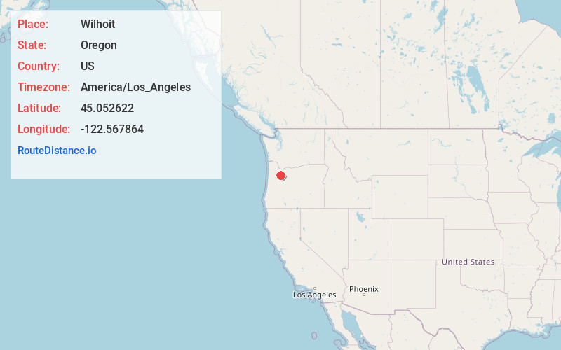
Full AddressWilhoit, OR 97038
-
Coordinates45.0526223, -122.5678643
-
LocationWilhoit , Oregon , US
-
TimezoneAmerica/Los_Angeles
-
Current Local Time11:53:02 PM America/Los_AngelesThursday, June 19, 2025
-
Page Views0
Nearby Places
Found 10 places within 50 miles

Scotts Mills
5.0 mi
8.0 km
Scotts Mills, OR
Get directions

Marquam
6.0 mi
9.7 km
Marquam, OR 97362
Get directions
Shady Dell
6.4 mi
10.3 km
Shady Dell, OR 97038
Get directions

Molalla
6.6 mi
10.6 km
Molalla, OR 97038
Get directions
Fernwood
6.9 mi
11.1 km
Fernwood, OR 97038
Get directions
Rural Dell
7.8 mi
12.6 km
Rural Dell, OR 97038
Get directions
Yoder
8.1 mi
13.0 km
Yoder, OR 97013
Get directions
Monitor
9.4 mi
15.1 km
Monitor, OR 97071
Get directions
Liberal
9.7 mi
15.6 km
Liberal, OR 97013
Get directions
Elliott Prairie
10.9 mi
17.5 km
Elliott Prairie, OR 97071
Get directions
Location Links
Local Weather
Weather Information
Coming soon!
Location Map
Static map view of Wilhoit, Oregon
Browse Places by Distance
Places within specific distances from Wilhoit
Short Distances
Long Distances
Click any distance to see all places within that range from Wilhoit. Distances shown in miles (1 mile ≈ 1.61 kilometers).