Distance to Wilkinson, Indiana

Calculating Your Route
Just a moment while we process your request...
Location Information
-
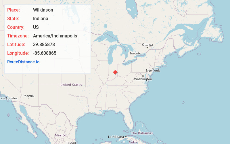
Full AddressWilkinson, IN 46186
-
Coordinates39.8858775, -85.6088646
-
LocationWilkinson , Indiana , US
-
TimezoneAmerica/Indianapolis
-
Page Views0
About Wilkinson
Wilkinson is a town in Brown Township, Hancock County, Indiana, United States. The population was 449 at the 2010 census.
Located in the northeast corner of Hancock County, the town sits along Indiana State Road 109, which runs north to Anderson and south to I-70 and Knightstown.
Nearby Places
Found 10 places within 50 miles

Shirley
1.7 mi
2.7 km
Shirley, IN
Get directions

Kennard
4.9 mi
7.9 km
Kennard, IN
Get directions
Markleville
6.4 mi
10.3 km
Markleville, IN 46056
Get directions

Knightstown
7.6 mi
12.2 km
Knightstown, IN 46148
Get directions

Spiceland
9.6 mi
15.4 km
Spiceland, IN
Get directions

Carthage
10.4 mi
16.7 km
Carthage, IN 46115
Get directions
Westwood
10.4 mi
16.7 km
Westwood, IN 47362
Get directions

Pendleton
10.8 mi
17.4 km
Pendleton, IN
Get directions

Greenfield
11.0 mi
17.7 km
Greenfield, IN 46140
Get directions

Ingalls
11.5 mi
18.5 km
Ingalls, IN
Get directions
Location Links
Local Weather
Weather Information
Coming soon!
Location Map
Static map view of Wilkinson, Indiana
Browse Places by Distance
Places within specific distances from Wilkinson
Short Distances
Long Distances
Click any distance to see all places within that range from Wilkinson. Distances shown in miles (1 mile ≈ 1.61 kilometers).