Distance to Willhoit, Missouri

Calculating Your Route
Just a moment while we process your request...
Location Information
-
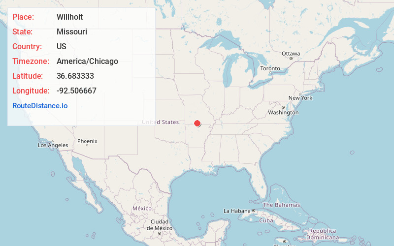
Full AddressWillhoit, MO 65773
-
Coordinates36.683333, -92.5066669
-
LocationWillhoit , Missouri , US
-
TimezoneAmerica/Chicago
-
Current Local Time2:44:14 PM America/ChicagoFriday, June 20, 2025
-
Page Views0
About Willhoit
Willhoit is an unincorporated community in Ozark County, Missouri, United States. It is located approximately eight miles north of Gainesville, just east of Route 5 on a county road. The community lies in a valley at the junction of Ludecker and Barren Fork Creeks.
Nearby Places
Found 10 places within 50 miles

Nottinghill
3.9 mi
6.3 km
Nottinghill, MO 65762
Get directions

Gainesville
7.0 mi
11.3 km
Gainesville, MO 65655
Get directions

Hammond
7.6 mi
12.2 km
Hammond, Thornfield Township, MO 65762
Get directions
Wasola
8.5 mi
13.7 km
Wasola, MO 65773
Get directions
Sundown
10.9 mi
17.5 km
Sundown, MO
Get directions

Theodosia
11.7 mi
18.8 km
Theodosia, MO 65761
Get directions
Mammoth
11.8 mi
19.0 km
Mammoth, Bridges Township, MO 65655
Get directions
Lutie
12.5 mi
20.1 km
Lutie, Big Creek Township, MO 65761
Get directions
Girdner
12.6 mi
20.3 km
Girdner, Walls Township, MO 65755
Get directions
Bertha
12.6 mi
20.3 km
Bertha, Jackson Township, MO 65608
Get directions
Location Links
Local Weather
Weather Information
Coming soon!
Location Map
Static map view of Willhoit, Missouri
Browse Places by Distance
Places within specific distances from Willhoit
Short Distances
Long Distances
Click any distance to see all places within that range from Willhoit. Distances shown in miles (1 mile ≈ 1.61 kilometers).