Distance to Williamstown, Massachusetts

Calculating Your Route
Just a moment while we process your request...
Location Information
-
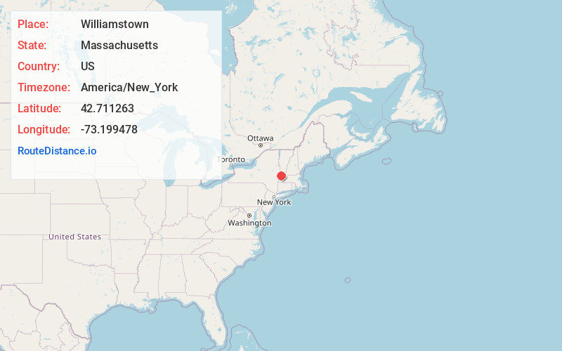
Full AddressWilliamstown, MA 01267
-
Coordinates42.7112633, -73.1994775
-
LocationWilliamstown , Massachusetts , US
-
TimezoneAmerica/New_York
-
Current Local Time3:58:01 PM America/New_YorkSunday, May 25, 2025
-
Website
-
Page Views0
About Williamstown
Williamstown is a town in Berkshire County, Massachusetts, United States. It shares a border with Vermont to the north and New York to the west. Located in Berkshire County, the town is part of the Pittsfield, Massachusetts metropolitan statistical area. The population was 7,513 at the 2020 census.


Nearby Places
Found 10 places within 50 miles

North Adams
4.7 mi
7.6 km
North Adams, MA 01247
Get directions

Adams
7.2 mi
11.6 km
Adams, MA
Get directions

Pittsfield
18.2 mi
29.3 km
Pittsfield, MA 01201
Get directions

Brunswick
18.5 mi
29.8 km
Brunswick, NY 12180
Get directions

Schaghticoke
23.5 mi
37.8 km
Schaghticoke, NY 12154
Get directions

North Greenbush
24.4 mi
39.3 km
North Greenbush, NY
Get directions

Waterford
25.1 mi
40.4 km
Waterford, NY 12188
Get directions

Watervliet
25.5 mi
41.0 km
Watervliet, NY
Get directions

East Greenbush
26.8 mi
43.1 km
East Greenbush, NY
Get directions

Schodack
27.7 mi
44.6 km
Schodack, NY
Get directions
Location Links
Local Weather
Weather Information
Coming soon!
Location Map
Static map view of Williamstown, Massachusetts
Browse Places by Distance
Places within specific distances from Williamstown
Short Distances
Long Distances
Click any distance to see all places within that range from Williamstown. Distances shown in miles (1 mile ≈ 1.61 kilometers).