Distance to Windmill Point, Massachusetts

Calculating Your Route
Just a moment while we process your request...
Location Information
-
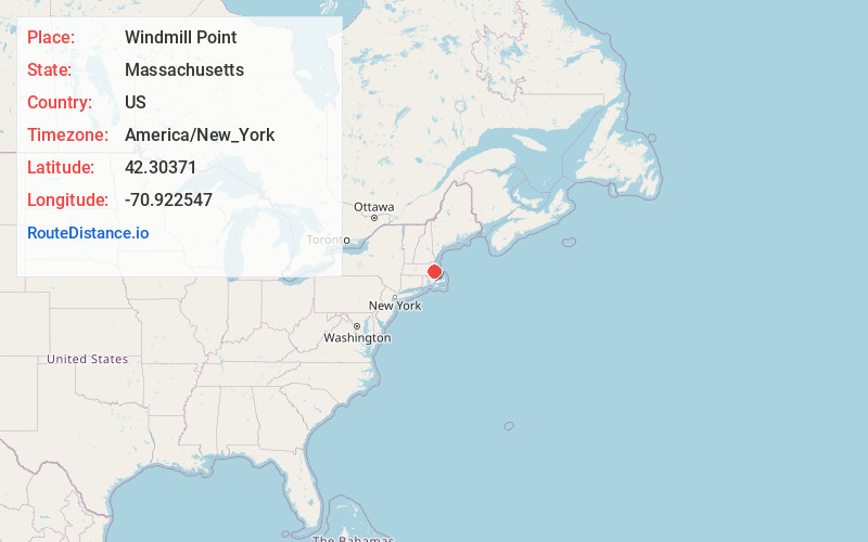
Full AddressWindmill Point, Hull, MA 02045
-
Coordinates42.3037102, -70.9225469
-
LocationHull , Massachusetts , US
-
TimezoneAmerica/New_York
-
Current Local Time5:05:22 PM America/New_YorkWednesday, June 18, 2025
-
Page Views0


Nearby Places
Found 10 places within 50 miles

Fort Andrews
0.4 mi
0.6 km
Fort Andrews, Hull, MA 02045
Get directions

Hull
0.8 mi
1.3 km
Hull, MA
Get directions

Fort Revere
0.8 mi
1.3 km
Fort Revere, Hull, MA 02045
Get directions

Georges Island
1.2 mi
1.9 km
Georges Island, Boston, MA
Get directions
Fort Duvall
1.4 mi
2.3 km
Fort Duvall, Hull, MA 02045
Get directions
Windemere
1.8 mi
2.9 km
Windemere, Hull, MA 02045
Get directions
Bayside
2.0 mi
3.2 km
Bayside, Hull, MA 02045
Get directions
Waveland
2.3 mi
3.7 km
Waveland, Hull, MA 02045
Get directions
Kenberma
2.8 mi
4.5 km
Kenberma, Hull, MA 02045
Get directions

Rocky Neck
3.7 mi
6.0 km
Rocky Neck, Hingham, MA 02043
Get directions
Location Links
Local Weather
Weather Information
Coming soon!
Location Map
Static map view of Windmill Point, Massachusetts
Browse Places by Distance
Places within specific distances from Windmill Point
Short Distances
Long Distances
Click any distance to see all places within that range from Windmill Point. Distances shown in miles (1 mile ≈ 1.61 kilometers).