Distance to Winslow, Missouri

Calculating Your Route
Just a moment while we process your request...
Location Information
-
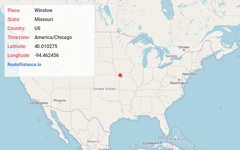
Full AddressWinslow, MO 64469
-
Coordinates40.0102746, -94.4624563
-
LocationWinslow , Missouri , US
-
TimezoneAmerica/Chicago
-
Current Local Time6:21:53 AM America/ChicagoSunday, June 22, 2025
-
Page Views0
Nearby Places
Found 10 places within 50 miles

Sandy Hook Creek
1.2 mi
1.9 km
Sandy Hook Creek, Missouri
Get directions
King City
4.3 mi
6.9 km
King City, MO 64463
Get directions
Berlin
6.6 mi
10.6 km
Berlin, Miller Township, MO 64469
Get directions
Union Star
7.5 mi
12.1 km
Union Star, MO 64494
Get directions
Amity
9.7 mi
15.6 km
Amity, MO 64422
Get directions

Maysville
9.9 mi
15.9 km
Maysville, MO 64469
Get directions
Flag Springs
10.9 mi
17.5 km
Flag Springs, Empire Township, MO 64480
Get directions
Helena
12.0 mi
19.3 km
Helena, MO 64459
Get directions
Darlington
13.5 mi
21.7 km
Darlington, MO 64438
Get directions

Rochester Falls
14.0 mi
22.5 km
Rochester Falls, Rochester Township, MO 64459
Get directions
Location Links
Local Weather
Weather Information
Coming soon!
Location Map
Static map view of Winslow, Missouri
Browse Places by Distance
Places within specific distances from Winslow
Short Distances
Long Distances
Click any distance to see all places within that range from Winslow. Distances shown in miles (1 mile ≈ 1.61 kilometers).