Distance to Wittman, Maryland

Calculating Your Route
Just a moment while we process your request...
Location Information
-
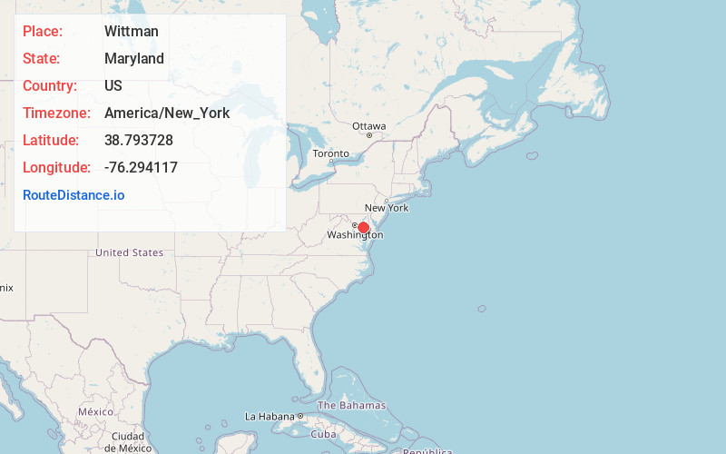
Full AddressWittman, MD 21676
-
Coordinates38.7937283, -76.2941165
-
LocationWittman , Maryland , US
-
TimezoneAmerica/New_York
-
Current Local Time11:23:01 AM America/New_YorkSunday, June 1, 2025
-
Page Views0
About Wittman
Wittman is an unincorporated community in Talbot County, Maryland, United States. Wittman is located at the intersection of Pot Pie Road, New Road, and Cummings Road south of Claiborne. Wittman has a post office, with the ZIP code 21676. The Flying Cloud was listed on the National Register of Historic Places in 1985.
Nearby Places
Found 10 places within 50 miles

Crescendo
0.5 mi
0.8 km
Crescendo, MD 21676
Get directions

McDaniel
1.9 mi
3.1 km
McDaniel, MD
Get directions
Bozman
2.1 mi
3.4 km
Bozman, MD 21612
Get directions
Sherwood
2.6 mi
4.2 km
Sherwood, MD 21665
Get directions

Claiborne
3.2 mi
5.1 km
Claiborne, MD 21624
Get directions

St Michaels
3.9 mi
6.3 km
St Michaels, MD 21663
Get directions
Bald Eagle Point
4.5 mi
7.2 km
Bald Eagle Point, Maryland 21665
Get directions
Hambleton Island
4.5 mi
7.2 km
Hambleton Island, Maryland 21662
Get directions
Rio Vista
4.6 mi
7.4 km
Rio Vista, MD 21663
Get directions
Neavitt
4.8 mi
7.7 km
Neavitt, MD 21652
Get directions
Location Links
Local Weather
Weather Information
Coming soon!
Location Map
Static map view of Wittman, Maryland
Browse Places by Distance
Places within specific distances from Wittman
Short Distances
Long Distances
Click any distance to see all places within that range from Wittman. Distances shown in miles (1 mile ≈ 1.61 kilometers).