Distance to Wonsevu, Kansas

Calculating Your Route
Just a moment while we process your request...
Location Information
-
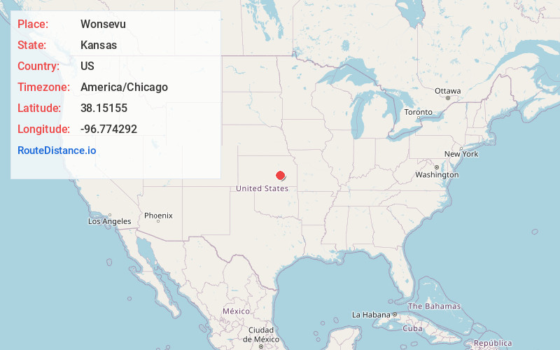
Full AddressWonsevu, KS 66843
-
Coordinates38.15155, -96.774292
-
LocationWonsevu , Kansas , US
-
TimezoneAmerica/Chicago
-
Current Local Time9:04:57 AM America/ChicagoFriday, June 20, 2025
-
Page Views0
About Wonsevu
Wonsevu is an unincorporated community in southwestern Chase County, Kansas, United States. It is located at the intersection of Cedar Creek and E Roads, which is 4.5 miles north of the Chase-Butler county line and 3.75 miles east of the Chase-Marion county line in the Flint Hills.
Nearby Places
Found 10 places within 50 miles

Burns
7.4 mi
11.9 km
Burns, KS 66840
Get directions

Cedar Point
7.9 mi
12.7 km
Cedar Point, KS 66843
Get directions

Clements
10.4 mi
16.7 km
Clements, KS 66843
Get directions

Florence
10.5 mi
16.9 km
Florence, KS 66851
Get directions
Cassoday
10.7 mi
17.2 km
Cassoday, KS 66842
Get directions
Summit Township
11.6 mi
18.7 km
Summit Township, KS
Get directions

Matfield Green
11.6 mi
18.7 km
Matfield Green, KS 66862
Get directions
Aikman
12.3 mi
19.8 km
Aikman, KS 67042
Get directions
De Graff
12.7 mi
20.4 km
De Graff, Lincoln Township, KS 66840
Get directions
Oursler
14.9 mi
24.0 km
Oursler, Centre Township, KS 66861
Get directions
Location Links
Local Weather
Weather Information
Coming soon!
Location Map
Static map view of Wonsevu, Kansas
Browse Places by Distance
Places within specific distances from Wonsevu
Short Distances
Long Distances
Click any distance to see all places within that range from Wonsevu. Distances shown in miles (1 mile ≈ 1.61 kilometers).