Distance to Woodmore, Maryland

Calculating Your Route
Just a moment while we process your request...
Location Information
-
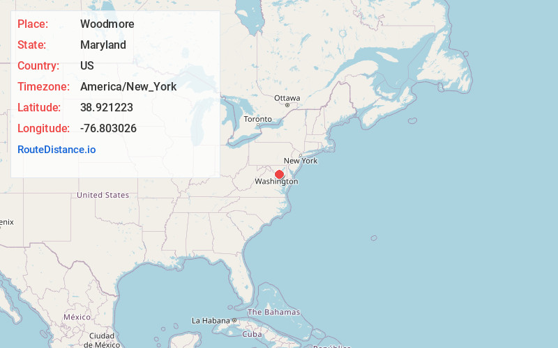
Full AddressWoodmore, MD
-
Coordinates38.9212228, -76.8030259
-
LocationWoodmore , Maryland , US
-
TimezoneAmerica/New_York
-
Current Local Time1:41:35 AM America/New_YorkFriday, June 20, 2025
-
Page Views0
About Woodmore
Woodmore is an unincorporated area and census-designated place in Prince George's County, Maryland, United States. Per the 2020 census, the population was 4,513. The CDP is located within the boundaries of Route 193 to the west, Church Road to the east, Route 214 to the south and Route 50 to the north.
Nearby Places
Found 10 places within 50 miles

Mitchellville
1.5 mi
2.4 km
Mitchellville, MD
Get directions

Lake Arbor
1.7 mi
2.7 km
Lake Arbor, MD
Get directions

Kettering
2.6 mi
4.2 km
Kettering, MD 20774
Get directions

Springdale
2.6 mi
4.2 km
Springdale, MD
Get directions
Fairwood
3.1 mi
5.0 km
Fairwood, MD
Get directions

Glenarden
3.1 mi
5.0 km
Glenarden, MD
Get directions

Largo
3.4 mi
5.5 km
Largo, MD 20774
Get directions

Lanham
3.5 mi
5.6 km
Lanham, MD
Get directions
Summerfield
3.6 mi
5.8 km
Summerfield, MD
Get directions

Glenn Dale
4.6 mi
7.4 km
Glenn Dale, MD
Get directions
Location Links
Local Weather
Weather Information
Coming soon!
Location Map
Static map view of Woodmore, Maryland
Browse Places by Distance
Places within specific distances from Woodmore
Short Distances
Long Distances
Click any distance to see all places within that range from Woodmore. Distances shown in miles (1 mile ≈ 1.61 kilometers).