Distance to Wren, Oregon

Calculating Your Route
Just a moment while we process your request...
Location Information
-
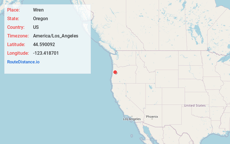
Full AddressWren, OR 97370
-
Coordinates44.590092, -123.418701
-
LocationWren , Oregon , US
-
TimezoneAmerica/Los_Angeles
-
Current Local Time6:08:33 AM America/Los_AngelesSaturday, June 21, 2025
-
Page Views0
About Wren
Wren is an unincorporated community in Benton County, Oregon, United States. It is located at the junction of U.S. Route 20 and Oregon Route 223 on the Marys River.
Wren was named for George P. Wren, who settled in the area.
Nearby Places
Found 10 places within 50 miles

Flynn
3.8 mi
6.1 km
Flynn, OR 97370
Get directions

Philomath
4.3 mi
6.9 km
Philomath, OR 97370
Get directions
Blodgett
5.1 mi
8.2 km
Blodgett, OR
Get directions
Hoskins
6.5 mi
10.5 km
Hoskins, OR 97370
Get directions

Corvallis
7.9 mi
12.7 km
Corvallis, OR
Get directions

Kings Valley
8.1 mi
13.0 km
Kings Valley, OR
Get directions

Summit
8.5 mi
13.7 km
Summit, OR 97326
Get directions

Lewisburg
9.0 mi
14.5 km
Lewisburg, OR 97330
Get directions
Dry Creek
9.2 mi
14.8 km
Dry Creek, OR 97333
Get directions
Burnt Woods
10.1 mi
16.3 km
Burnt Woods, OR 97326
Get directions
Location Links
Local Weather
Weather Information
Coming soon!
Location Map
Static map view of Wren, Oregon
Browse Places by Distance
Places within specific distances from Wren
Short Distances
Long Distances
Click any distance to see all places within that range from Wren. Distances shown in miles (1 mile ≈ 1.61 kilometers).