Distance to Wyanett, Minnesota

Calculating Your Route
Just a moment while we process your request...
Location Information
-
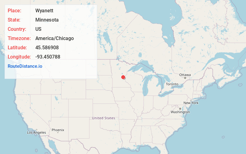
Full AddressWyanett, MN 55371
-
Coordinates45.586908, -93.4507881
-
LocationWyanett , Minnesota , US
-
TimezoneAmerica/Chicago
-
Current Local Time4:50:33 PM America/ChicagoTuesday, June 3, 2025
-
Page Views0
About Wyanett
Wyanett is an unincorporated community in Wyanett Township, Isanti County, Minnesota, United States.
The community is located between Cambridge and Princeton at the junction of State Highway 95 and Nacre Street NW.
Nearby Places
Found 10 places within 50 miles

Pine Brook
3.0 mi
4.8 km
Pine Brook, MN 55371
Get directions
West Point
3.6 mi
5.8 km
West Point, MN 55008
Get directions

Spencer Brook
4.5 mi
7.2 km
Spencer Brook, MN 55371
Get directions
Carmody
4.7 mi
7.6 km
Carmody, MN 55017
Get directions
Dalbo
5.6 mi
9.0 km
Dalbo, MN 55017
Get directions
Bradford
6.0 mi
9.7 km
Bradford, MN 55008
Get directions
Walbo
6.0 mi
9.7 km
Walbo, MN 55008
Get directions

Princeton
6.4 mi
10.3 km
Princeton, MN 55371
Get directions
Springvale
7.6 mi
12.2 km
Springvale, MN 55008
Get directions
Brickton
7.6 mi
12.2 km
Brickton, MN 55371
Get directions
Location Links
Local Weather
Weather Information
Coming soon!
Location Map
Static map view of Wyanett, Minnesota
Browse Places by Distance
Places within specific distances from Wyanett
Short Distances
Long Distances
Click any distance to see all places within that range from Wyanett. Distances shown in miles (1 mile ≈ 1.61 kilometers).