Distance to and from Yarmouth Port, Massachusetts
Yarmouth Port, Yarmouth, MA 02675
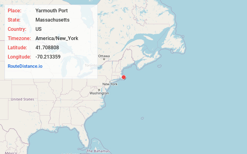
Yarmouth
Massachusetts
US
America/New_York
Location Information
-
Full AddressYarmouth Port, Yarmouth, MA 02675
-
Coordinates41.7088078, -70.2133591
-
NeighborhoodYarmouth Port
-
LocationYarmouth , Massachusetts , US
-
TimezoneAmerica/New_York
-
Current Local Time3:55:57 PM America/New_YorkSunday, May 4, 2025
-
Page Views0
Directions to Nearest Cities
About Yarmouth Port
Yarmouth Port is a census-designated place in the town of Yarmouth in Barnstable County, Massachusetts, United States. The population was 5,320 at the 2010 census.
Yarmouth Port was home to the original Christmas Tree Shops until its closing in 2007. The town is home to the international headquarters of IFAW.


Nearby Places
Found 10 places within 50 miles

Dennis
2.1 mi
3.4 km
Dennis, MA
Get directions

Yarmouth
3.5 mi
5.6 km
Yarmouth, MA
Get directions

Barnstable
4.9 mi
7.9 km
Barnstable, MA
Get directions

Harwich
7.5 mi
12.1 km
Harwich, MA
Get directions

Brewster
7.6 mi
12.2 km
Brewster, MA
Get directions

Orleans
12.7 mi
20.4 km
Orleans, MA
Get directions

Chatham
13.1 mi
21.1 km
Chatham, MA
Get directions

Mashpee
14.4 mi
23.2 km
Mashpee, MA
Get directions

Sandwich
15.2 mi
24.5 km
Sandwich, MA
Get directions

Bourne
20.3 mi
32.7 km
Bourne, MA
Get directions
Dennis
2.1 mi
3.4 km
Dennis, MA
Yarmouth
3.5 mi
5.6 km
Yarmouth, MA
Barnstable
4.9 mi
7.9 km
Barnstable, MA
Harwich
7.5 mi
12.1 km
Harwich, MA
Brewster
7.6 mi
12.2 km
Brewster, MA
Orleans
12.7 mi
20.4 km
Orleans, MA
Chatham
13.1 mi
21.1 km
Chatham, MA
Mashpee
14.4 mi
23.2 km
Mashpee, MA
Sandwich
15.2 mi
24.5 km
Sandwich, MA
Bourne
20.3 mi
32.7 km
Bourne, MA
Location Links
Local Weather
Weather Information
Coming soon!
Location Map
Static map view of Yarmouth Port, Massachusetts
Browse Places by Distance
Places within specific distances from Yarmouth Port
Short Distances
Long Distances
Click any distance to see all places within that range from Yarmouth Port. Distances shown in miles (1 mile ≈ 1.61 kilometers).