Distance to Yerkes, Pennsylvania

Calculating Your Route
Just a moment while we process your request...
Location Information
-
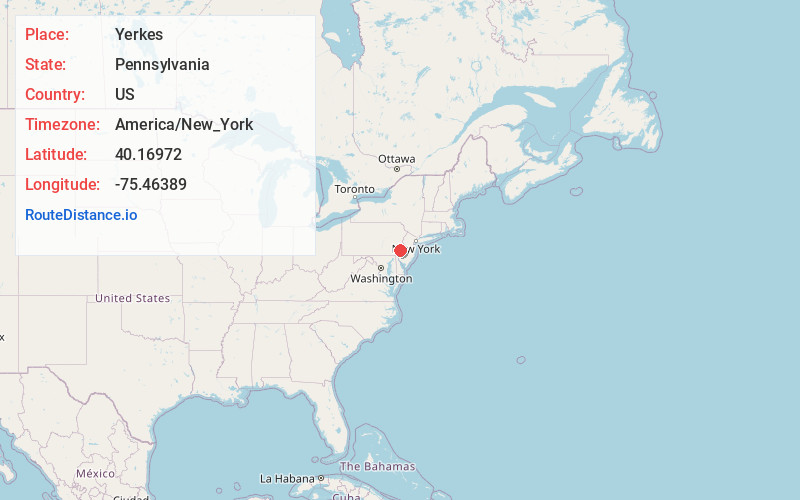
Full AddressYerkes, PA 19426
-
Coordinates40.16972, -75.46389
-
LocationYerkes , Pennsylvania , US
-
TimezoneAmerica/New_York
-
Current Local Time9:50:36 AM America/New_YorkThursday, June 19, 2025
-
Page Views0
About Yerkes
Yerkes is an unincorporated village in Upper Providence Township, Montgomery County, Pennsylvania, United States, just southwest of Collegeville. Yerkes is situated at a former road crossing of the Perkiomen Creek.
Nearby Places
Found 10 places within 50 miles

Collegeville
1.3 mi
2.1 km
Collegeville, PA 19426
Get directions

Upper Providence Township
1.8 mi
2.9 km
Upper Providence Township, PA
Get directions

Evansburg
2.0 mi
3.2 km
Evansburg, PA 19426
Get directions

Trappe
2.1 mi
3.4 km
Trappe, PA 19426
Get directions
Rahns
2.8 mi
4.5 km
Rahns, PA 19426
Get directions
Iron Bridge Estates
2.8 mi
4.5 km
Iron Bridge Estates, Skippack Township, PA 19426
Get directions

Lower Providence Township
2.8 mi
4.5 km
Lower Providence Township, PA
Get directions

Mont Clare
2.9 mi
4.7 km
Mont Clare, PA
Get directions
Eagleville
3.0 mi
4.8 km
Eagleville, PA
Get directions
Mingo
3.1 mi
5.0 km
Mingo, Upper Providence Township, PA 19460
Get directions
Location Links
Local Weather
Weather Information
Coming soon!
Location Map
Static map view of Yerkes, Pennsylvania
Browse Places by Distance
Places within specific distances from Yerkes
Short Distances
Long Distances
Click any distance to see all places within that range from Yerkes. Distances shown in miles (1 mile ≈ 1.61 kilometers).