Distance to Yocum, Kentucky

Calculating Your Route
Just a moment while we process your request...
Location Information
-
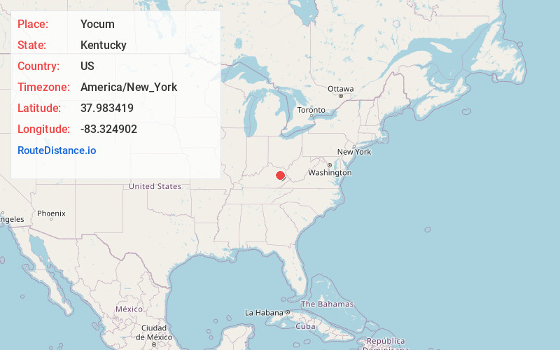
Full AddressYocum, KY 41472
-
Coordinates37.9834185, -83.3249016
-
LocationYocum , Kentucky , US
-
TimezoneAmerica/New_York
-
Current Local Time10:57:03 PM America/New_YorkWednesday, June 11, 2025
-
Page Views0
Nearby Places
Found 10 places within 50 miles

Zag
2.2 mi
3.5 km
Zag, KY 41472
Get directions
Blaze
2.7 mi
4.3 km
Blaze, KY 41472
Get directions
Twentysix
3.3 mi
5.3 km
Twentysix, KY 41472
Get directions
Kellacey
3.9 mi
6.3 km
Kellacey, KY 41472
Get directions

West Liberty
5.6 mi
9.0 km
West Liberty, KY 41472
Get directions
Bonny
5.6 mi
9.0 km
Bonny, KY 41425
Get directions
Liberty Rd
5.7 mi
9.2 km
Liberty Rd, West Liberty, KY 41472
Get directions
Redwine
5.8 mi
9.3 km
Redwine, KY 41472
Get directions
Craney
6.0 mi
9.7 km
Craney, KY 40313
Get directions
Ebon
6.3 mi
10.1 km
Ebon, KY 40387
Get directions
Location Links
Local Weather
Weather Information
Coming soon!
Location Map
Static map view of Yocum, Kentucky
Browse Places by Distance
Places within specific distances from Yocum
Short Distances
Long Distances
Click any distance to see all places within that range from Yocum. Distances shown in miles (1 mile ≈ 1.61 kilometers).