Distance to Yoder, Colorado

Calculating Your Route
Just a moment while we process your request...
Location Information
-
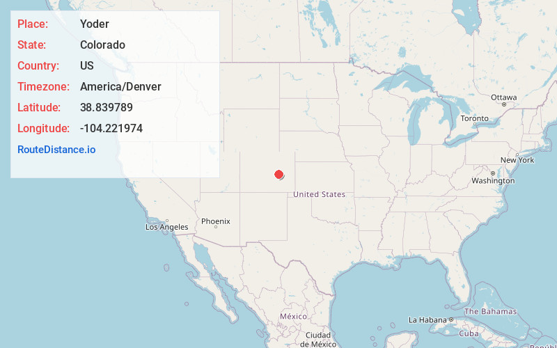
Full AddressYoder, CO
-
Coordinates38.8397888, -104.2219735
-
LocationYoder , Colorado , US
-
TimezoneAmerica/Denver
-
Current Local Time10:58:24 PM America/DenverSaturday, June 21, 2025
-
Page Views0
About Yoder
Yoder is an unincorporated community and a U.S. Post Office located in El Paso County, Colorado, United States. The Yoder Post Office has the ZIP Code 80864.
A post office called Yoder has been in operation since 1904. Ira M. Yoder, an early postmaster, gave the community his name.


Nearby Places
Found 10 places within 50 miles

Rush
7.0 mi
11.3 km
Rush, CO
Get directions

Truckton
7.3 mi
11.7 km
Truckton, CO 80864
Get directions

Ellicott
8.9 mi
14.3 km
Ellicott, CO 80808
Get directions

Calhan
14.1 mi
22.7 km
Calhan, CO 80808
Get directions
Alta Vista
14.4 mi
23.2 km
Alta Vista, CO 80832
Get directions

Peyton
19.2 mi
30.9 km
Peyton, CO 80831
Get directions
Kutch
19.6 mi
31.5 km
Kutch, CO 80832
Get directions

Ramah
19.7 mi
31.7 km
Ramah, CO 80832
Get directions

Simla
22.1 mi
35.6 km
Simla, CO 80835
Get directions
Shirley
23.6 mi
38.0 km
Shirley, Colorado Springs, CO 80938
Get directions
Location Links
Local Weather
Weather Information
Coming soon!
Location Map
Static map view of Yoder, Colorado
Browse Places by Distance
Places within specific distances from Yoder
Short Distances
Long Distances
Click any distance to see all places within that range from Yoder. Distances shown in miles (1 mile ≈ 1.61 kilometers).