Distance to Calhan, Colorado

Calculating Your Route
Just a moment while we process your request...
Location Information
-
Full AddressCalhan, CO 80808
-
Coordinates39.0355459, -104.297186
-
LocationCalhan , Colorado , US
-
TimezoneAmerica/Denver
-
Current Local Time9:39:54 PM America/DenverWednesday, July 2, 2025
-
Page Views0
About Calhan
The Town of Calhan is a statutory town located in El Paso County, Colorado, United States. The town population was 762 at the 2020 United States census. Calhan is a part of the Colorado Springs, CO Metropolitan Statistical Area and the Front Range Urban Corridor. The town straddles U.S. Highway 24.


Nearby Places
Found 10 places within 50 miles

Simla
13.6 mi
21.9 km
Simla, CO 80835
Get directions

Ellicott
14.5 mi
23.3 km
Ellicott, CO 80808
Get directions

Black Forest
21.7 mi
34.9 km
Black Forest, CO
Get directions

Kiowa
23.3 mi
37.5 km
Kiowa, CO 80117
Get directions

Cimarron Hills
24.6 mi
39.6 km
Cimarron Hills, CO
Get directions

Elizabeth
27.6 mi
44.4 km
Elizabeth, CO 80107
Get directions

Gleneagle
28.5 mi
45.9 km
Gleneagle, CO 80921
Get directions

Woodmoor
29.9 mi
48.1 km
Woodmoor, CO 80132
Get directions

Security-Widefield
30.3 mi
48.8 km
Security-Widefield, CO
Get directions

United States Air Force Academy
30.4 mi
48.9 km
United States Air Force Academy, Air Force Academy, CO 80840
Get directions
Location Links
Local Weather
Weather Information
Coming soon!
Location Map
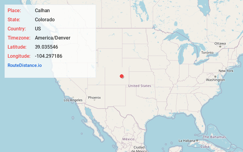
Static map view of Calhan, Colorado
Browse Places by Distance
Places within specific distances from Calhan
Short Distances
Long Distances
Click any distance to see all places within that range from Calhan. Distances shown in miles (1 mile ≈ 1.61 kilometers).