Distance to Simla, Colorado

Calculating Your Route
Just a moment while we process your request...
Location Information
-
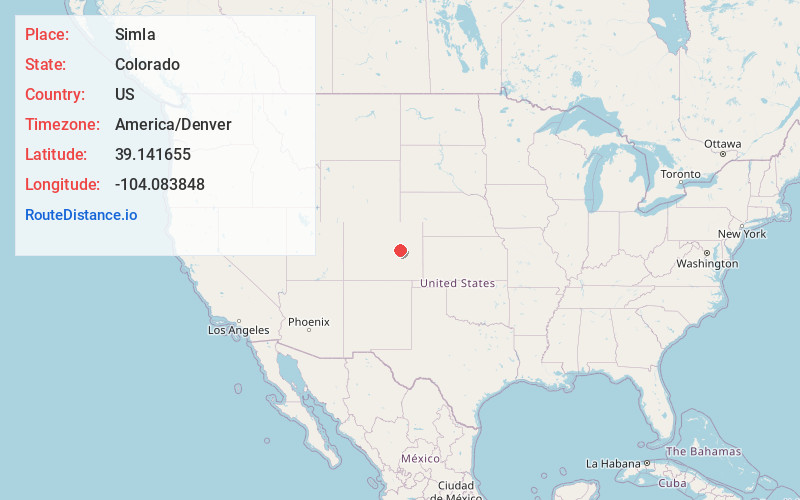
Full AddressSimla, CO 80835
-
Coordinates39.1416551, -104.0838479
-
LocationSimla , Colorado , US
-
TimezoneAmerica/Denver
-
Current Local Time9:56:39 AM America/DenverSaturday, June 21, 2025
-
Page Views0
About Simla
Simla is a statutory town in Elbert County, Colorado, United States. It is 48 miles northeast of Colorado Springs. The population was 601 at the time of the 2020 United States census.


Nearby Places
Found 10 places within 50 miles

Limon
22.6 mi
36.4 km
Limon, CO 80828
Get directions

Kiowa
24.8 mi
39.9 km
Kiowa, CO 80117
Get directions

Ellicott
26.5 mi
42.6 km
Ellicott, CO 80808
Get directions

Elizabeth
31.3 mi
50.4 km
Elizabeth, CO 80107
Get directions

Deer Trail
32.8 mi
52.8 km
Deer Trail, CO 80105
Get directions

Hugo
32.9 mi
52.9 km
Hugo, CO
Get directions

Black Forest
34.3 mi
55.2 km
Black Forest, CO
Get directions

Cimarron Hills
38.2 mi
61.5 km
Cimarron Hills, CO
Get directions

Byers
40.0 mi
64.4 km
Byers, CO 80103
Get directions

Gleneagle
40.4 mi
65.0 km
Gleneagle, CO 80921
Get directions
Location Links
Local Weather
Weather Information
Coming soon!
Location Map
Static map view of Simla, Colorado
Browse Places by Distance
Places within specific distances from Simla
Short Distances
Long Distances
Click any distance to see all places within that range from Simla. Distances shown in miles (1 mile ≈ 1.61 kilometers).