Distance to Yondota, Ohio

Calculating Your Route
Just a moment while we process your request...
Location Information
-
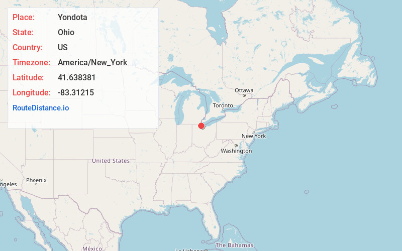
Full AddressYondota, OH 43412
-
Coordinates41.6383812, -83.3121502
-
LocationYondota , Ohio , US
-
TimezoneAmerica/New_York
-
Current Local Time6:42:03 AM America/New_YorkSunday, June 8, 2025
-
Page Views0
About Yondota
Yondota is an unincorporated community in Lucas County, in the U.S. state of Ohio.
Nearby Places
Found 10 places within 50 miles

Bono
2.2 mi
3.5 km
Bono, OH 43445
Get directions

Reno Beach
2.8 mi
4.5 km
Reno Beach, OH
Get directions

Williston
2.9 mi
4.7 km
Williston, OH
Get directions

Curtice
3.2 mi
5.1 km
Curtice, OH
Get directions

Cedar Point National Wildlife Refuge
3.4 mi
5.5 km
Cedar Point National Wildlife Refuge, Oregon, OH 43616
Get directions
Howard Farms Beach
3.6 mi
5.8 km
Howard Farms Beach, Reno Beach, OH 43412
Get directions
Trowbridge
4.3 mi
6.9 km
Trowbridge, Benton Township, OH 43445
Get directions
Clay Center
5.8 mi
9.3 km
Clay Center, OH
Get directions
Elliston
6.5 mi
10.5 km
Elliston, OH 43432
Get directions
Graytown
7.1 mi
11.4 km
Graytown, OH 43432
Get directions
Location Links
Local Weather
Weather Information
Coming soon!
Location Map
Static map view of Yondota, Ohio
Browse Places by Distance
Places within specific distances from Yondota
Short Distances
Long Distances
Click any distance to see all places within that range from Yondota. Distances shown in miles (1 mile ≈ 1.61 kilometers).