Distance to Graytown, Ohio

Calculating Your Route
Just a moment while we process your request...
Location Information
-
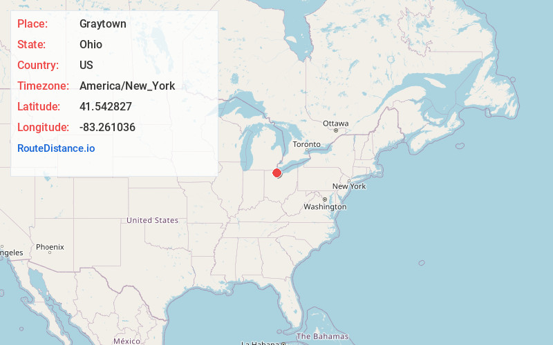
Full AddressGraytown, OH 43432
-
Coordinates41.5428274, -83.2610362
-
LocationGraytown , Ohio , US
-
TimezoneAmerica/New_York
-
Current Local Time11:01:58 PM America/New_YorkTuesday, June 3, 2025
-
Page Views0
About Graytown
Graytown is an unincorporated community in southwestern Benton Township, Ottawa County, Ohio, United States. It has a post office with the ZIP code 43432.
Graytown is a small unincorporated community with few business operations. Luckey Farmers Inc. and The Country Keg are two current commercial entities in Graytown.
Nearby Places
Found 10 places within 50 miles

Rocky Ridge
2.6 mi
4.2 km
Rocky Ridge, OH
Get directions

Elmore
5.0 mi
8.0 km
Elmore, OH 43416
Get directions

Genoa
5.4 mi
8.7 km
Genoa, OH 43430
Get directions
Clay Center
5.4 mi
8.7 km
Clay Center, OH
Get directions
Williston
5.8 mi
9.3 km
Williston, OH
Get directions

Oak Harbor
6.4 mi
10.3 km
Oak Harbor, OH 43449
Get directions

Curtice
7.6 mi
12.2 km
Curtice, OH
Get directions

Woodville
8.3 mi
13.4 km
Woodville, OH 43469
Get directions

Reno Beach
8.3 mi
13.4 km
Reno Beach, OH
Get directions

Millbury
8.6 mi
13.8 km
Millbury, OH 43447
Get directions
Location Links
Local Weather
Weather Information
Coming soon!
Location Map
Static map view of Graytown, Ohio
Browse Places by Distance
Places within specific distances from Graytown
Short Distances
Long Distances
Click any distance to see all places within that range from Graytown. Distances shown in miles (1 mile ≈ 1.61 kilometers).