Distance to Zap, North Dakota

Calculating Your Route
Just a moment while we process your request...
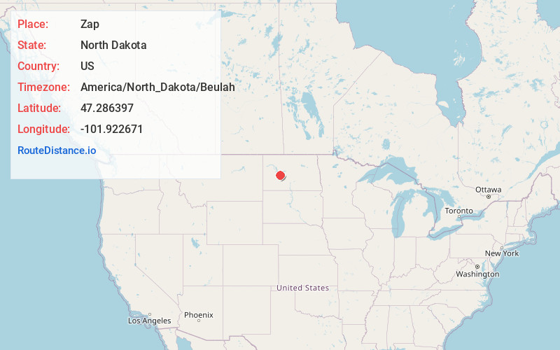
Location Information
-
Full AddressZap, ND 58580
-
Coordinates47.2863966, -101.9226705
-
LocationZap , North Dakota , US
-
TimezoneAmerica/North_Dakota/Beulah
-
Current Local Time3:01:03 AM America/North_Dakota/BeulahThursday, June 19, 2025
-
Page Views0
About Zap
Zap is a city in Mercer County, North Dakota, United States. The population was 221 at the 2020 census.
Zap was founded in 1913 along a branch line of the Northern Pacific Railway that began in Mandan.


Nearby Places
Found 10 places within 50 miles

Golden Valley
6.7 mi
10.8 km
Golden Valley, ND 58541
Get directions

Beulah
7.0 mi
11.3 km
Beulah, ND 58523
Get directions

Hazen
14.1 mi
22.7 km
Hazen, ND 58545
Get directions

Halliday
19.9 mi
32.0 km
Halliday, ND 58636
Get directions

Stanton
25.5 mi
41.0 km
Stanton, ND 58571
Get directions

White Shield
26.2 mi
42.2 km
White Shield, ND
Get directions

Hebron
27.3 mi
43.9 km
Hebron, ND 58638
Get directions

Riverdale
29.6 mi
47.6 km
Riverdale, ND
Get directions

Center
31.5 mi
50.7 km
Center, ND 58530
Get directions

Glen Ullin
32.9 mi
52.9 km
Glen Ullin, ND 58631
Get directions
Location Links
Local Weather
Weather Information
Coming soon!
Location Map
Static map view of Zap, North Dakota
Browse Places by Distance
Places within specific distances from Zap
Short Distances
Long Distances
Click any distance to see all places within that range from Zap. Distances shown in miles (1 mile ≈ 1.61 kilometers).