Distance to Zetella, Georgia

Calculating Your Route
Just a moment while we process your request...
Location Information
-
Full AddressZetella, GA 30223
-
Coordinates33.2409509, -84.3821468
-
LocationZetella , Georgia , US
-
TimezoneAmerica/New_York
-
Current Local Time12:21:49 AM America/New_YorkMonday, June 23, 2025
-
Page Views0
Nearby Places
Found 10 places within 50 miles

Rio
2.7 mi
4.3 km
Rio, GA 30223
Get directions
Blantons Mill
3.3 mi
5.3 km
Blantons Mill, GA 30224
Get directions

Williamson
4.2 mi
6.8 km
Williamson, GA 30292
Get directions

Spalding County
4.3 mi
6.9 km
Spalding County, GA
Get directions
Lowry
5.0 mi
8.0 km
Lowry, GA 30215
Get directions

Brooks
5.6 mi
9.0 km
Brooks, GA 30205
Get directions
Digbey
6.3 mi
10.1 km
Digbey, GA 30205
Get directions
Experiment
6.7 mi
10.8 km
Experiment, GA 30223
Get directions

Griffin
6.8 mi
10.9 km
Griffin, GA
Get directions
Jolly
8.2 mi
13.2 km
Jolly, GA 30292
Get directions
Location Links
Local Weather
Weather Information
Coming soon!
Location Map
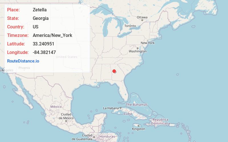
Static map view of Zetella, Georgia
Browse Places by Distance
Places within specific distances from Zetella
Short Distances
Long Distances
Click any distance to see all places within that range from Zetella. Distances shown in miles (1 mile ≈ 1.61 kilometers).