Distance to Zoe, Oklahoma

Calculating Your Route
Just a moment while we process your request...
Location Information
-
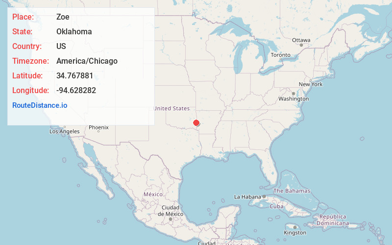
Full AddressZoe, OK 74939
-
Coordinates34.7678807, -94.6282822
-
LocationZoe , Oklahoma , US
-
TimezoneAmerica/Chicago
-
Current Local Time2:46:02 PM America/ChicagoFriday, June 20, 2025
-
Page Views0
About Zoe
Zoe is an unincorporated community in eastern Le Flore County, Oklahoma, United States.
The community is on a county road just east of combined US routes 59-270. Heavener is approximately eight miles to the north. The Black Fork of the Poteau River flows past the north side of the community.
Nearby Places
Found 10 places within 50 miles

Stapp
0.9 mi
1.4 km
Stapp, OK 74937
Get directions

Hodgen
5.1 mi
8.2 km
Hodgen, OK
Get directions
Conser
6.0 mi
9.7 km
Conser, OK 74937
Get directions
Hontubby
6.7 mi
10.8 km
Hontubby, OK 74937
Get directions
Haw Creek
6.8 mi
10.9 km
Haw Creek, OK 74937
Get directions

Big Cedar Creek
6.9 mi
11.1 km
Big Cedar Creek, Oklahoma 74939
Get directions

Heavener
8.9 mi
14.3 km
Heavener, OK 74937
Get directions
Forrester
9.2 mi
14.8 km
Forrester, OK 74937
Get directions
Reichert
10.0 mi
16.1 km
Reichert, OK 74937
Get directions

Muse
10.1 mi
16.3 km
Muse, OK 74949
Get directions
Location Links
Local Weather
Weather Information
Coming soon!
Location Map
Static map view of Zoe, Oklahoma
Browse Places by Distance
Places within specific distances from Zoe
Short Distances
Long Distances
Click any distance to see all places within that range from Zoe. Distances shown in miles (1 mile ≈ 1.61 kilometers).